Monday, 8 May 2017

cycling action photos

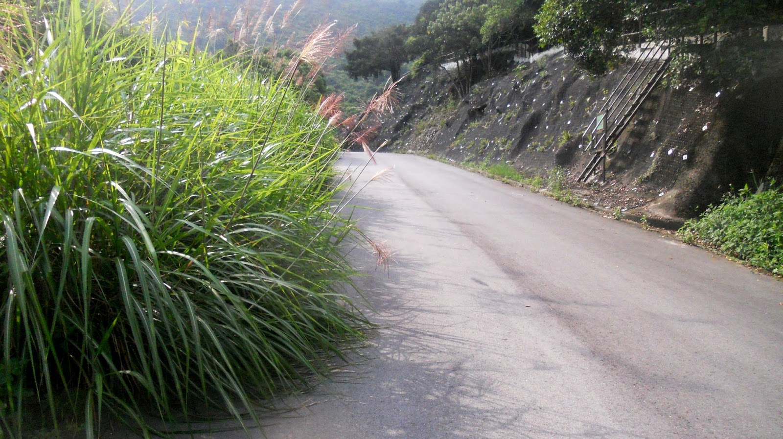
Although I’ve written quite a lot over the years about the various cycling routes I’ve done in the Fanling area, almost all these accounts have been accompanied only by photos showing the road, track or path being followed (I did include a couple of photos of Paula on new sections of the long and winding road on the last day of last year, however).

Earlier that same day, I’d already photographed Paula on two old sections of the same route. This is the original first path (as described in The Long and Winding Road):


As well as giving names to my bike rides, I may give names to specific sections. The next two photos show the start of the second path, the palm grove. I did take a photo of Paula on the path in the foreground of the first picture, but her face was obscured by a sprig of green leaves. Notice the sinuous curves on this section, which make it vital to maintain an optimum speed (too slow and you’ll wobble over the edge; but too fast and you won’t make the turns):


The last photo in this sequence shows the path a couple of hundred metres beyond the palm grove:
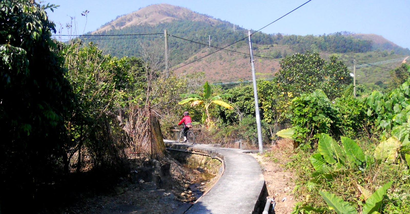

I included a photo of Paula crossing the iron bridge—a feature of one of the newly added paths—in Room for Improvement. Here’s another:


However, the undoubted highlight of the new, improved, long and winding road is the spiral ramp. Here are two photos of Paula that I took on 11th February this year:


Here is a sequence of four photos that Paula took of me on 18th March:


…and here are another two of Paula, which I took on 25th March:


Finally, here is a video that Paula took of me on this formidable obstacle on 6th May (be sure to click the ‘full screen’ icon):


The frontier road is a pleasant out-and-back excursion that we usually combine with other rides. Between the road and the Chinese border is an area of fish ponds, many of which are still in use, and there are a few points along the road where it is possible to wander off into this area. I became obsessed with finding a through route that involved entering the area via one track and leaving it by another, but to date I’ve managed only one connection. This is Paula on that solitary connection on 11th February:


…and this is her in roughly the same place on 4th March:


I took these photos as much for their picturesque quality as for any intrinsic excitement. In fact, no difficulty is involved in cycling this section. However, whenever we do the frontier road, we always divert to the right just before the top of the climb out of the frontier area to tackle Liu Pok Hill (named after the village we pass through en route), and 4th March wasn’t an exception. The next four photos were also taken on that day.

There is quite a good place to stop by the turn, and a couple of years ago when I reached this point I met two young cyclists who were taking a rest. Nonchalantly, I asked them where they were going, and upon hearing their reply said that this was a much better way. I didn’t mention the hill.

I wouldn’t normally be stopping to take photos here, but Paula had shouted to me that there was something wrong with her bike. I’d already started the hill, so I pulled to one side while she checked the problem. When she was ready to resume, I took the following four photos:


If the two young cyclists I’d persuaded to come this way were dismayed, they certainly didn’t show it. In fact, they seemed pleased to have been shown a road they didn’t know existed. While we frequently see cyclists on the main frontier road, I’ve only ever seen a solitary cyclist on this diversion.

The next two photos were taken on the alarmingly steep descent path that I described in Detour de Force:


Finally, here are three photos of Paula on another ramp on the newly upgraded long and winding road. It is much easier than the spiral ramp, but I failed on my first attempt because I had no idea what to expect around what is effectively a blind corner. Notice the nearer of the two pipes to the centre of the alley. I carelessly allowed my front wheel to pass right of the pipe, and by the time I’d clocked my mistake, there was no way out. [Update: Paula made the same mistake a week before I was due to fly back to the UK.]


I shall be heading off back to the UK for the summer in a couple of weeks, but I hope to be able to take a few more ‘interesting’ cycling photos next winter.

Thursday, 4 May 2017

reservoir dodges

When I posted an account of the challenge posed by Lau Shui Heung Road in November 2015, I gave it the title Meeting Myself Coming Back because, having made it up the hill and down the other side, it is then necessary to go back the way you’ve come—or so I’d thought at the time. Lau Shui Heung Road terminates at the top of the hill, and from the summit the road is then known as Hok Tau Road, after the village of the same name at the bottom of the hill.

Anyway, I hadn’t done Lau Shui Heung Road this winter, and the second public holiday in three days seemed like the ideal opportunity to rectify this deficiency, even though Paula and I had done a fairly tough hill only two days earlier. This one doesn’t get any easier. In fact, in my original account, in describing the approach to the top, I’d written that ‘I’m more than happy that I still have a couple of gears in reserve’, but this time I’d had to engage bottom gear from the hairpin, which is well below the top.

After an exciting, fast descent, the road continues beyond the village, but within a few hundred metres there is a metal barrier across the road and a sign by the Water Supplies Department that unauthorized entry is not allowed. I didn’t photograph the barrier, but this is what the road beyond looks like:


…and although the barrier effectively blocks all motor traffic, there is a convenient ride-around for bikes.

“Let’s continue,” said Paula, who hadn’t been this way before.

I was aware that the road led to a reservoir, and I had planned to check it out at some stage, but I wasn’t sure we wouldn’t be hassled by country park wardens, given that it was a public holiday.

“Sod it! Why not?” I concluded.

We were early, after all. It wasn’t yet nine o’clock. So we set off.

Here is a map of the road ahead. The red X marks the approximate location of the barrier.


The climb is nothing like as stiff as the one we’d just done, but it is rather long, and at one point we came to two bright yellow signs painted on the road: no bikes! Alongside was a sign saying that we would need a mountain bike permit to continue, and that offenders would be prosecuted.

No problem! I do have a mountain bike permit, although I suspected that it may have been out of date. It was! When I checked after we’d returned to the barrier, I discovered that its validity had expired in March 2015. In any case, I thought, we’ve already come so far, and we ain’t gonna back off now. I didn’t photograph these warnings or where they appeared, but the following sequence of photos shows the climb:


And this is the top:


Although the climb to this point hadn’t been unduly arduous, I was dismayed when, a short distance further on, there was what looked like a fairly steep downhill section:


However, we’d come this far, so we really didn’t have an acceptable alternative. So we continued. And we soon reached the dam:


The reservoir itself is quite picturesque:


Needless to say, the continuation of the road, given that it follows the far shore of the reservoir, is now completely horizontal. However, once we’d reached the end, I took a few photos on the way back to show the spectacular flowering trees on the surrounding hillsides:


I have a book, Hong Kong Trees, published by the Hong Kong government, but it’s in the UK, so I can’t identify the species at the moment, but it does stand out from the rest of the hillside at this time of year.

By the way, the earlier downhill section that had filled me with dismay looks like this in the opposite direction:


As I pointed out earlier, the ‘problem’ with this bike ride is that it’s ‘out and back’, which is ultimately unsatisfying. However, I’d spotted a path off to the left as we’d ridden along Hok Tau Road earlier that I wanted to check out. And if you’re a regular reader, you will know that I cannot resist the impulse to find out where such paths lead, even though in most cases the answer is a dead end. However, this particular path went on and on, and all the while I was thinking that it would eventually reach a dead end. But it never did!

This is where it reached a road:


So this bike ride is now a circuit! However, it does still need considerable refinement, but I’m off to the UK in a couple of weeks, and it’s getting too hot to be doing serious hills, so further investigation will have to wait until the autumn. Nevertheless, I can see this becoming one of my regular bike rides instead of a once-a-year excursion. What on Earth have I let myself in for?

Monday, 1 May 2017

fortissimo

When the Hong Kong government rescinded the ‘closed area’ status of the area around Ta Kwu Ling at the beginning of 2016, I spent a lot of time exploring this newly opened part of the New Territories. At one point, I cycled along Lin Ma Hang Road from the junction circled on the map below until I came to a police road block and could go no further. There didn’t seem a lot of point in riding up to the checkpoint merely to return the way I’d come, so the cycling route that I subsequently did every Sunday, ‘the final frontier’, approached the circled junction from the southeast and left westwards.


However, today was a public holiday, which meant that Paula was along for the ride, and I decided to check whether the police road block was still in place, and if not how much further along the road we could go. It was still there, unfortunately, but as we rode along I’d noticed a road that turned off to the left (north), so, with nothing better to do, having been turned back, I thought that we might take a closer look. I might reasonably have anticipated a tough cycling challenge, but I didn’t expect a history lesson!

But first the road:


It might be that I went at the hill too aggressively, or it might be that having been cycling on the previous three days I had no more gas in the tank, but I reached the blue sign that you can see in the previous photo, took one look at what was still to come:


…and decided that I needed a rest. Paula concurred:


I took this photo to illustrate the gradient, which is steady throughout the climb and is probably around 25 percent.

After a short rest, the reminder of the climb didn’t seem so bad, but although the road levelled out beyond what you can see in the last photo in the above sequence, it didn’t go any further, instead opening out into a helipad (the red X on the map). However, there was a long flight of concrete steps.

“Let’s see where they go,” said Paula.

“Lead on,” I said:


Having reached the top of the steps seen in the previous photo, we were rewarded with some splendid views of eastern Shenzhen, but there was more:


Notice the concrete bunker in the foreground, but notice too that the steps continue upwards. Almost immediately, however, we reached a locked gate. But next to the gate was a stainless steel plaque with the following information:
MacIntosh fort at Pak Fu Shan [near Ta Kwu Ling] is one of the seven observation posts safeguarding the border against illegal immigrants. The forts were built between 1949 and 1953, when there was an influx of refugees from mainland China due to political instability. Duncan William MacIntosh, the commissioner of police, decided to build a chain of observation posts (forts) on prominent hilltops to strengthen the border defense [sic]. The forts were guarded day and night, playing a prominent role in tackling illegal immigrants.

All the MacIntosh Forts were built in reinforced concrete of the same style and of very similar design and almost identical layout….

The historic building is accorded Grade 2 status.
I’ve omitted the detailed description of the design, but this is as close as we could get to the fort:


Although there was nothing more to see here, when we returned to the helipad we did notice another concrete bunker on the hillside to the left of the steps:


Paula scrambled up the hillside and took this photo of the entrance:


The function of this bunker isn’t obvious, but the hill does provide a good vantage point for military purposes, and it turns out to have been constructed by the Japanese army during its occupation of the then British colony during the Second World War. And I’ve started to wonder where the other six forts are located. I think I know the whereabouts of two, but that leaves four unaccounted for.

This is not somewhere that is likely to feature on future cycling itineraries, but bear in mind that we had to stop for a rest halfway up the hill. This means that we will have to return at least once, just to prove to ourselves that we can do the hill in one go.