I’ll be heading back to the UK for the summer in a couple of days, and as usual, I’ve compiled a collection of what I consider to be the most interesting photos that I’ve taken during the past seven months in Hong Kong. Also as usual, the collection does not include any photos used to illustrate other posts on this blog.
Many years ago, I was wandering around Luen Wo Hui, the area of Fanling nearest to the village where we live, when I suddenly felt hungry. And I fancied a plate of one of my favourite Chinese food dishes, Singapore noodles. I picked a typical cafe at random and went in. Nowadays, whenever I fancy a plate of Singapore noodles, I still go to the same cafe, and this is a photo of the last plate I ate there:
Several years ago, I went into a Chinese takeaway in Penrith, not to buy anything—I never eat so-called Chinese food in the UK—but I was accompanying a friend who didn’t know any better. While he was placing his order, I browsed the menu on the wall, and my attention was drawn to ‘Singapore noodles’. So I asked the Chinese man behind the counter what kind of noodles they used in their Singapore noodles.
“What do you mean? Noodles!” he replied.
My guess is that he didn’t know that there are four types of noodle in Cantonese cuisine, and the correct answer should have been mai fan (rice noodles). The noodles in chow mein are made with wheat flour.
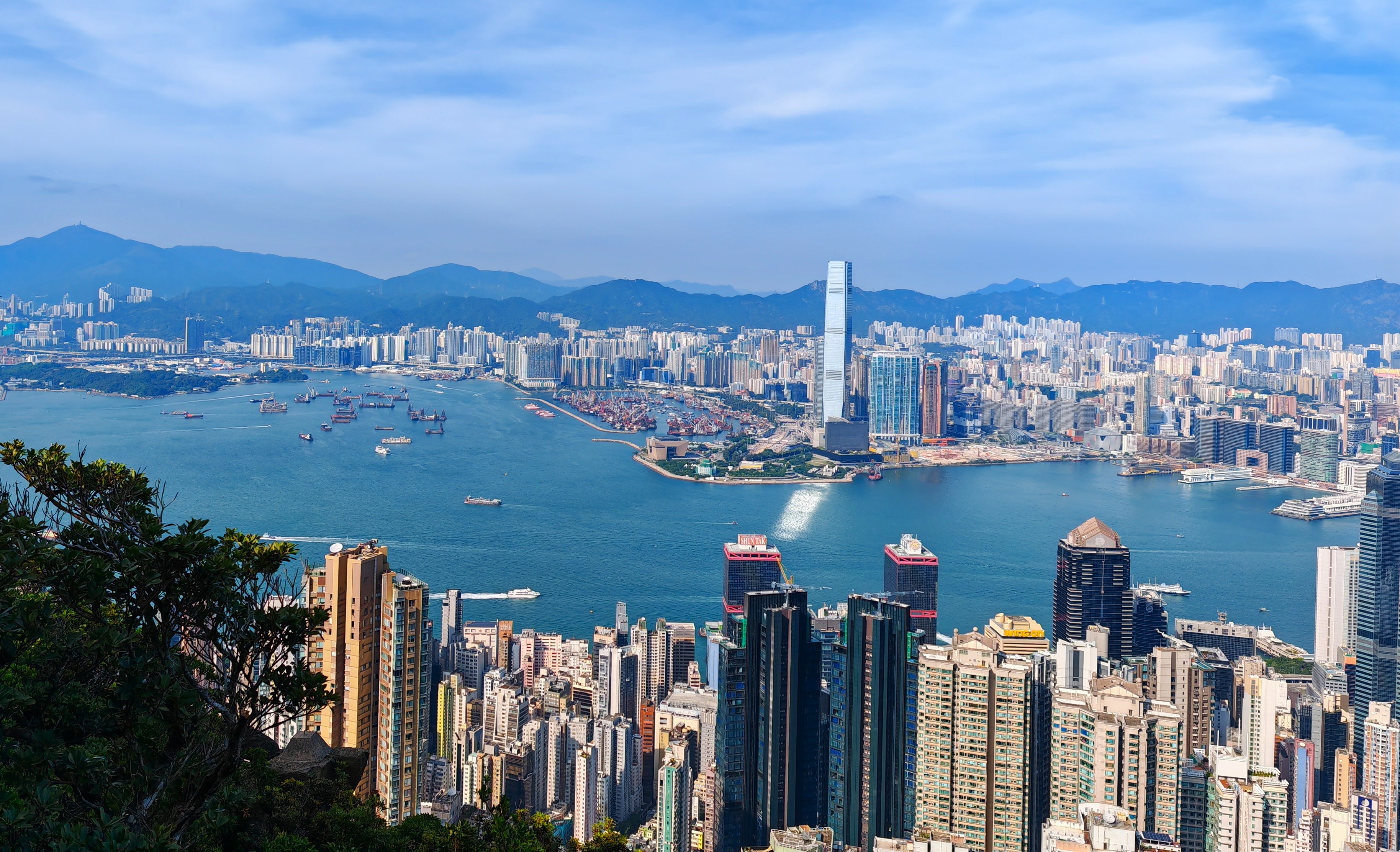
On one of our rare visits to Hong Kong Island, we somehow ended up in Wanchai (we were supposed to be going up the Peak). And I couldn’t miss seeing an extensive mural featuring lotus flowers. This is one of several photos I took:
On the same visit to Hong Kong side, we also went into Pacific Place, an upmarket shopping mall in Central, and I couldn’t resist taking a photo of the men’s toilet:
I don’t think I’ve ever seen such a luxurious toilet anywhere else.
Sunset on the Ng Tung River (our local river):
A few years ago, I posted a collection of photos of elaborate gates leading to otherwise nondescript houses under the title The Gates of Delirium. This gate certainly belongs in that collection:
The next photo shows a shop in Green Code Plaza, a shopping mall in Luen Wo Hui:
The extraordinary thing about this display is that the shop only sells knitting materials, not dolls.
A sunset picture that I took from our roof:
…and another sunset picture looking down our local river:
And a telephoto that I took from our roof to show the progress that has been made in the Fanling North New Development Area (NDA):
I can no longer take photos like this, because the owner of the roof directly in front of the camera has built a structure that completely blocks our view to the west.
I came across this dragon in the forecourt of Belair Monte, a housing estate in Luen Wo Hui, during Chinese New Year:
I took several photos of a particular morning glory when walking past the construction site down our local river, but this one shows the most flowers:
I don’t often come across firecracker vines, which flower in January, that I haven’t seen before, but I found this one in Ko Po North, a sprawling village east of Fanling:
There is only one location in my neighbourhood where I can see pigeons, the gardens in front of Union Plaza, yet another housing estate in Luen Wo Hui. However, pigeons are almost always mob-handed here:
I can’t remember where I took this photo of a monitor lizard on he edge of a footpath. Notice how long its tail is:
Sometimes when we cycle ‘down south’ to Shatin, we stop for a rest in places that look like pleasant spots to sit for a while. We stopped once at what I would describe as a balcony that projects out over the Shing Mun River, directly opposite the Heritage Museum. I couldn’t help but notice this granite plaque, with its engraved plant motif, set into the floor of the balcony:
A few years ago, I posted a description of an outlandish garden at the start of the path across the Swamp under the title The Garden of Earthly Delights (Hieronymus Bosch would have approved). There is an equally bizarre entrance to a garden on the opposite side of the footpath that I’ve only recently got around to photographing:
My favourite bike ride, ‘the final frontier’ (so named because it passes through an area that was designated a part of the frontier closed area until 2016), passes a temple near Ping Che. On a recent ride, we noticed that there appeared to be some kind of festival in progress, so naturally we stopped to take a few photos. I particularly liked this statue:
Be sure to click on the photo to see the intricate detail.
The only way to cross Sha Tau Kok Road, the main road east out of Fanling, between that road’s junctions with Ma Sik Road and Fan Leng Lau Road, is via one of two subways. I’ve photographed graffiti on the walls of the more easterly subway before, but it was washed off long ago (the walls of the subway are tiled). I was therefore surprised to see this quite impressive tag recently:
I don’t expect it to still be here when we come back to Hong Kong in the autumn.
Nowadays, Paula and I go regularly to Queen’s Hill Public Housing Estate for breakfast. In addition to seven 40-storey residential blocks, there are two secondary schools here, and after breakfast we always have a walk around the public areas of the estate, which is why we happened to notice that one of the schools was conducting a fire drill:
Back in Green Code Plaza, I took the following photo of the central atrium from the mezzanine floor. The bright light source is an amusement arcade that calls itself CHECK POINT, and I was struck by the fact that the word ‘CHECK’ reads correctly even though it’s a mirror image:
Two days ago, we were riding along the cycle track through Taipo Waterfront Park when I spotted what looked like an interesting mural. Naturally, I stopped to take a few photos; this one is of the full mural, which appears to be anti-drug propaganda:
And that’s the highlights of my most recent sojourn in Hong Kong.
Showing posts with label chinese culture. Show all posts
Wednesday, 14 May 2025
Sunday, 6 April 2025
across the border
Paula recently discovered that, as Hong Kong residents, we could apply for a card that would give us unlimited access to mainland China without having to carry any other form of identification, including a passport. Of course, we still need our Hong Kong ID cards to exit and re-enter Hong Kong.
A few days ago, we visited Shenzhen for the second time under this system. On both occasions, we’ve caught a bus on Sha Tau Kok Road, a five-minute walk from our house, which terminates at Heung Yuen Wai Port. On our first visit, we simply took the Shenzhen Metro to Lo Wu, the northern terminus of the MTR’s East Rail Line, which is just two stops from Fanling. However, on our second visit we wanted to start exploring, which is what we did. While there, I took quite a few photos, which I present here, with occasional comments.
I couldn’t resist taking the first photo, which shows Burger King and McDonald’s next door to each other, immediately upon exiting the Heung Yuen Wai immigration centre:
I was surprised to see two competing brands set up so close to each other.
We then took the Metro, just four stops to Grand Theater, one of the few stations on what is now an extensive network with an English name. Incidentally, because we are both over 65, we get to travel free on the Shenzhen Metro. All we need to do is show our Hong Kong Octopus cards, which include a photo ID, to a member of staff who is manning a separate entrance gate for seniors.
We didn’t see any signs of a theatre when we reached street level, but I was immediately impressed by this pointy skyscraper behind what appears to be a residential block:
I took the next photo partly because of the cotton tree (these trees have been flowering profusely in Hong Kong this year), although the building immediately behind does look interesting:
I took this photo because of the red projection on the side nearest the camera of what appears to be an office building:
I can’t help wondering what lies behind the blue windows.
And this is a hotel:
Quite a posh one too, I would guess.
Another odd-looking building, with the projecting bits near the top:
The main buiding in the next photo appears to be an upmarket residential block, but I took the photo because of the building closer to the camera, which appears to have had one of its upper corners broken off:
The next photo shows what I conjecture is a high-speed train, given the obvious streamlining:
I didn’t do a good job when taking the next photo. The object in the foreground appears to be some kind of avian creature, but I would like to have captured more of the building in the background (I cropped off quite a large area of featureless concrete at the bottom, and I would like to have captured more of the building in the background, the face of which is much more extensive than you can see here):
I’ve no idea what this artwork represents, but I had to take a photo:
By this time, we’d reached another Metro station, but before we headed home we thought we might as well walk around a little more. We’d spotted what appeared to be a traditional Chinese building in the distance:
As you can see, there appears to be quite a lot of construction taking place here, and what we’d thought was a traditional building is probably a modern shopping mall, judging by the McDonald’s sign on the roof.
This is a view of the same building from a different side:
The intended subject of the next photo is the tradional Chinese bell, but I had to include the building in the background because of the unusual shape of its windows:
And then we boarded a Metro train to Lo Wu. However, we needed something to eat before heading home, and we opted for a Chinese restaurant in a nearby hotel. This is the view from the restaurant that we enjoyed while eating:
After we had enjoyed our lunch, we went through immigration again and caught a train to Fanling. I’ve no idea where we will go the next time we cross the border, but the general plan is to take the Metro to a random station and simply walk around, much as we did on this occasion.
Labels:
china,
chinese culture,
photography,
railways
Monday, 25 November 2024
peak viewing
“Let’s go up the Peak,” suggested Paula recently.
Victoria Peak, the highest summit on Hong Kong Island, is the only major mountain in Hong Kong that I don’t know the Chinese name of. However, it’s always been simply ‘the Peak’, hence the wording of Paula’s suggestion. How to get there is the first problem. We can get a train from Fanling to Admiralty station on the island side (this line used to terminate at Hung Hom, on Kowloon side, but was extended by the MTR a few years ago), followed by a short walk to Central. From here, if you’re a tourist, you will probably take the Peak Tram (actually a funicular railway), but we always take the bus, mainly because the views are far superior—on the tram, you’re tilted backwards at an obscene angle, so you can’t see much, although if you’ve never tried it, then you should. Just once though.
The bus terminates next to the upper terminus of the tram, so there’s no effect on what you might want to do next. It is possible to continue uphill on foot, although the actual summit of the Peak is inaccessible because it houses a radio station. We always start by walking along Harlech Road, which contours the southern side of the Peak. There are occasional views to the south, but nothing particularly impressive. And despite the crowds around the tram terminus, it’s relatively quiet on this road, with few people and almost no traffic:
I never notice at what point we find ourselves on Lugard Road, which crosses the northern slopes of the Peak with no major gradients, ending eventually at our starting point. However, according to the government map Harlech Road continues straight on where Lugard Road branches off to the right somewhere around the col that separates the Peak from nondescript higher ground to the west. The last time we visited the Peak, we encountered a couple of young wild pigs around the col, and I shot quite an intimate video:
The individual that accounted for the bulk of the time in this video was probably expecting to be fed. Incidentally, I hadn’t realized that there are wild pigs on the island side, although I’ve seen many of these creatures in the New Territories.
I’d carelessly neglected to charge my phone before this excursion, and we spent some time in Hong Kong Park, where I took more than 60 photos, before catching the bus to the Peak, so I shouldn’t have been surprised when my phone decided to switch itself off to conserve power as we walked along Harlech Road. Consequently, I asked Paula to take some photos whenever a gap appeared through the trees as we walked along Lugard Road. What follows is a selection of her photos, with occasional explanatory comments from me.
The first two photos are views of what might be called the ‘western approaches’ to the harbour:
Almost all the high-rise blocks that you can see in the foreground of these photos are residential buildings. The buildings in the distance in the second photo are part of the town of Tsuen Wan, the northern terminus of the MTR’s Tsuen Wan Line to Central, one of the first lines to be constructed in what is now a very extensive network.
And this was our first view of the harbour, with a glimpse of the building that dominates the view towards Kowloon:
I don’t know the name of the building, which is located on land reclaimed from the sea since the handover to Chinese rule in 1997. The entire reclaimed area is known collectively as ‘West Kowloon’.
The next photo provides a fairly comprehensive view of Kowloon:
You will notice that there aren’t many super-high buildings. The reason for this situation is that when Hong Kong’s airport was located at Kai Tak, in eastern Kowloon, a height restriction (18 storeys) was in force. Notice too the line of mountains in the distance. ‘Kowloon’ means ‘Nine Dragons’ in Chinese, referring to these mountains. I can’t positively identify any of these summits apart from the one on the far right, which is Fei Ngo Shan (‘Flying Goose Mountain’), better known simply as ‘Kowloon Peak’.
The next two photos are essentially the same view from different angles:
Notice that there are now quite a few commercial buildings in the foreground. This is because the area below is the central business district, better known simply as ‘Central’.
These are views looking east along the harbour (shots taken from different locations):
The final four photos are general views from different positions, which I present without further commentary:
One final comment: it would seem from many observations over the years that a majority of people who follow this walk do so in the opposite direction. This might seem like the logical direction to follow—spectacular views almost straight away—but if you follow Lugard Road first, Harlech Road is going to seem like an anticlimax. We will always circumnavigate the Peak in a clockwise direction!
Labels:
chinese culture,
hong kong,
nature,
photography,
video
Tuesday, 5 November 2024
oh! my god(s)
Although I first came to Hong Kong more than 50 years ago, there are still places in the territory that I’ve never visited. Stanley, a small town on the south coast of Hong Kong Island, fell into this category until last week, when Paula suggested that we pay a visit after we’d been to the Registration of Persons office in Kowloon to pick up my new ID card (I’d lost my old one over the summer). Mind you, in common with many Hongkies who live on Kowloon side, I don’t often cross the harbour to the Island side, which partly explains the omission.
Stanley’s main attraction, at least for tourists, is its market, where you can buy all sorts of exotic items. However, when we arrived, the first thing I noticed was a sign pointing the way to a Tin Hau temple (Tin Hau is the goddess of the sea in Chinese culture), so that is where we went instead:
The first thin I noticed when we stepped inside was the door gods, Yuchi Jingde on the left:
…and Qin Shu Bao on the right:
Although I’ve recorded many examples of door gods on the doors of ancestral halls, study halls and temples, this was the first new example I’d seen in quite some time, and the first thing I noticed here was that the door gods weren’t merely painted on the doors; they were embossed, in a kind of bas-relief. I also noticed that although the two door gods held ‘standard’ weapons—a halberd by Yuchi Jingde and a pole sword by Qin Shu Bao—they grasped these weapons with both hands. It is much more common for the pair to hold these weapons with just one hand while holding a sword, still in its sheath, with the other hand. These door gods are also facing squarely forward, when they should be facing slightly inwards to ensure that intruders cannot sneak in between them.
I then took these photographs just inside the entrance:
I cannot offer any information regarding the subjects of these photos, although you might notice the dragons on the vertical panels in the third photo.
Then we ventured into the rear hall of the temple, where I spotted a sign that read ‘photography available’, which I interpreted as meaning that photography was allowed—we’ve visited temples and monasteries where photography is explicitly forbidden. And I certainly wanted to photograph what we saw here! My final five photographs show the array of gods along the back wall of the temple (from left to right):
I don’t know who or what the array of figures in the next photo represent (scholars and warriors?), but we saw a similar display in the China section of the Royal Ontario Museum when we visited Toronto back in August:
Notice the red signs on the walls behind these figures. These are the names of the various entities, something that I’ve not seen anywhere else:
And that was the Tin Hau temple in Stanley. Well worth a look inside, although the building itself is singularly uninteresting.
Labels:
chinese culture,
hong kong,
photography,
religion
Subscribe to:
Posts (Atom)