Wednesday 27 November 2019

the boneshaker

When I established the bike ride that I named ‘journey to the west’ in 2013, it immediately became our regular Saturday morning adventure. We had previously cycled to Sham Chung, in the Sai Kung Country Park, every Saturday, to eat a plate of our friend Tom Li’s pan-fried noodles. We would probably still be going there, but Tom hasn’t run the store for several years now, and the present cook lacks Tom’s culinary expertise, while the cycling—despite being a round trip of 72km—is best described as ‘boring’.

However, journey to the west is anything but boring. There are some seriously tough hills and awkward narrow paths for a start. The original concept of the ride was just an out-and-back excursion, with a general circuit around the Kam Tin area at the halfway stage. Part of that circuit took us through an area with a large number of graves, and it is this segment that is the subject of this report.

Because I had a few health problems, we didn’t do the journey last winter, but now that I’ve recovered, I suggested to Paula that it was about time we did something about such a glaring omission. Consequently, we’ve now done the ride for the past three Saturdays, and on the last of these, we set out to shoot some videos.

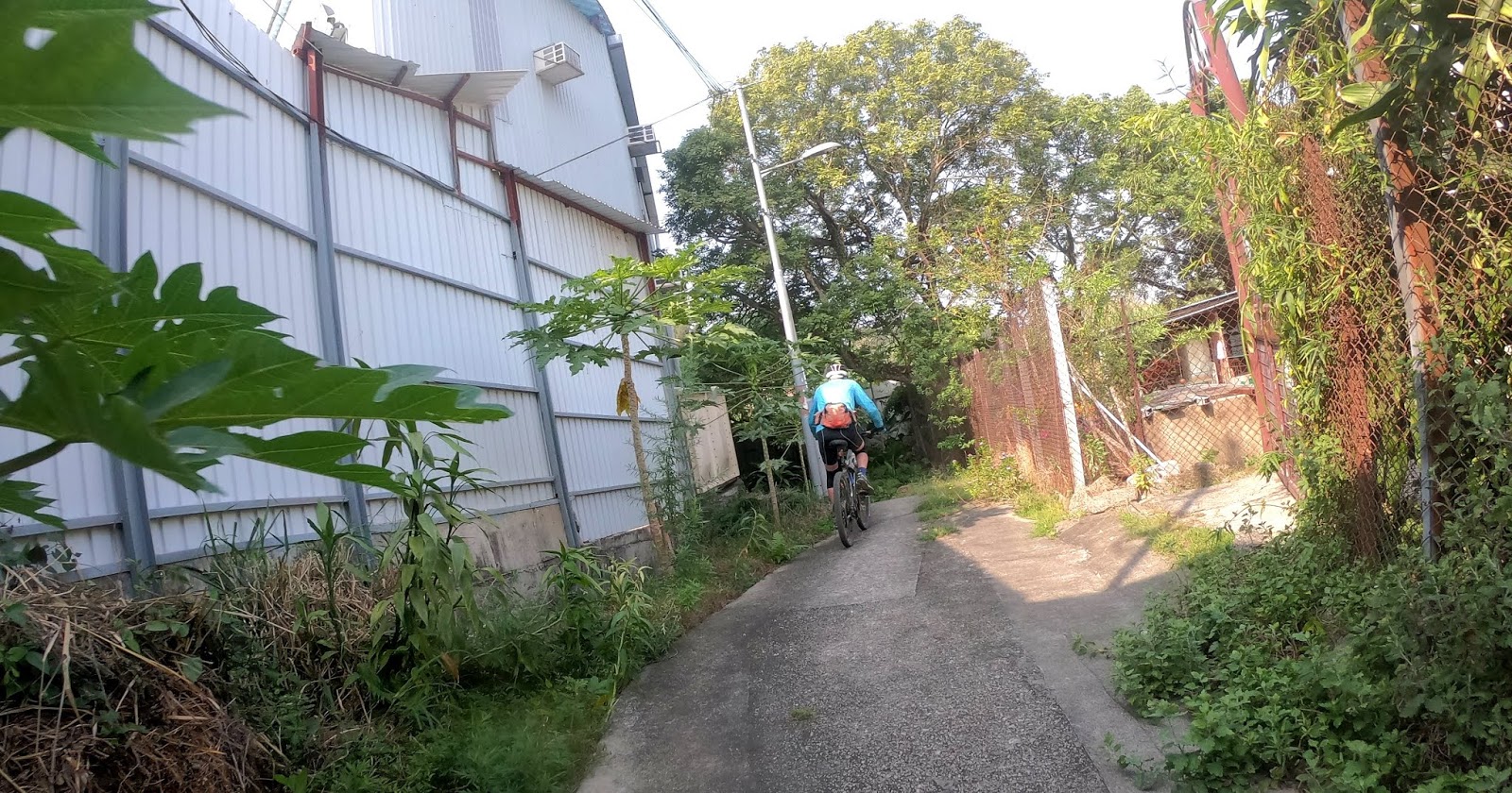
The only one of these videos that I’ve uploaded to YouTube starts from the end of ‘the yellow brick road’, a road that I rather facetiously described as an ‘avenue of the dead’ in Journey to the West: Part 3, because it leads to the area with many graves that I alluded to above. When you watch the video, the first thing you will notice are the two signposts, which proclaim, inter alia, ‘no cycling’:


They weren’t there when I first came this way, but I’ve heard subsequently that a group of irresponsible cyclists had been using this area to zoom around indiscriminately, including over some of the graves, prompting local villagers, whose ancestors occupy the graves, to complain to the Country Parks Authority. However, our route goes nowhere near any of the graves, and I was riding through here long before the signs were erected, so we will continue to do so.

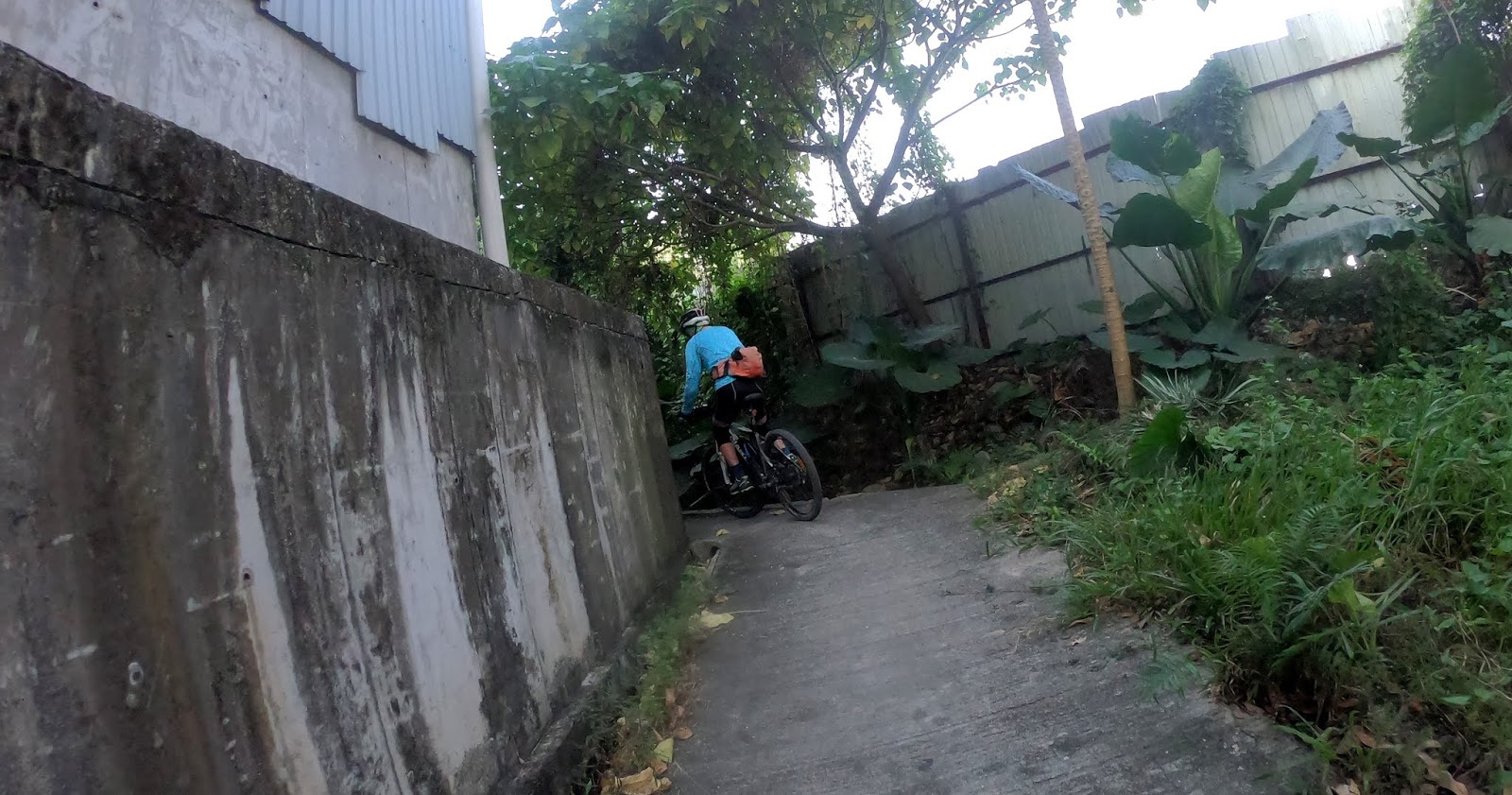
The first part is deeply rutted, because construction vehicles were passing through the area regularly a few years ago, but the real difficulties start at 1:24. This is an illustration of the problem:


This section is unlikely to pose any problems for a big truck, but the presence of so many large angular lumps of rock (circa 8–10cm across) means that you have to focus intently on what is directly in front of you when riding a bike, with only the quickest of glances ahead to determine the best line through the debris. And if you watch carefully, you may notice that Paula, who was controlling the camera, encounters slight problems at 2:03 and 2:45.

The ‘rocky road’ ends around 3:00, and the subsequent gravel road is much easier to negotiate. This leads to a typical narrow country path, which I originally described in Journey to the West: Part 4. Definitely not boring! See for yourself:

Friday 22 November 2019

the humdinger

When I decided to visit San Tin last December, my motivation was to see the historical buildings there—the Man Lung Fung Ancestral Hall and the Tai Fu Tai Mansion, both of which are declared monuments, the highest classification for such buildings in Hong Kong. I didn’t discover the Tung Shan Temple—equally impressive but not a declared monument—until a later visit.

The first problem was how to get there. If travelling by car, there is no problem, but Castle Peak Road is no place for a sensible cyclist, because it carries a huge amount of industrial traffic, and truck drivers show absolutely no consideration for anyone on a bike. Accordingly, I decided to approach via Ki Lung Shan Au (Saddle Pass), which is considerably more arduous, but it carries only local traffic because it cannot be accessed by motor vehicles from further east. In other words, I would be following the route that I originally described in Journey to the West.

Unfortunately, there was a problem: once I reached Ka Lung Road, a left turn on which leads to San Tin Barracks, I had no idea where to go next, other than turning right. I could once have followed the snake path, which I described in Journey to the West: Part 4, in reverse, but that option has become almost impassable in the last couple of years.

However, once I’d turned right, within a short distance I spotted a signpost that pointed to the village of Siu Hum (tsuen is merely the Cantonese for village and is not part of the formal name):


I can’t explain the ‘2’ in parentheses, although it suggests that there is another route to the village, perhaps the road that leads to the end of the snake path. It had to be worth checking out.

What follows is not a contemporaneous account of my exploration but a recent attempt to shoot a video:


The taxi in the next photo had just pulled in ahead of me to drop off a passenger:


With quasi-industrial yards on both sides, there could be only one way to go:


And there is a path:


…but what lies around the corner?


The path merely continues as before:


However, things are about to become more awkward:


The short hill isn’t difficult, just so long as you remember to drop a few gears well in advance:


We’re now back on level ground:


And, in case you hadn’t noticed, it’s now more rural. We’ve left the industrial sites far behind:


The railings on the right aren’t really necessary, but there is a short downslope:


This section is certainly well shaded (and not remotely difficult):


The buildings on the left are probably squatter houses:


I’m not sure why the railings suddenly come to an end, because there is still a drop off the edge of the path:


The path then joins a minor road for a short distance:


…before turning off to the left:


onto another path:


Guess what? We’re now on the snake path, which can now be followed in reverse:


The railings weren’t there when we last followed the snake path, and the path was half the width it is now:


This turn, in the opposite direction, was quite nerve-racking when the path was ridden in the opposite direction and was the original width:


…and of course you need to be mindful that a momentary lapse of concentration will see you off the edge of the bridge into the stream below:


…while this turn, in the opposite direction, had to be executed just right to avoid going over the edge:


Paula put her foot down to negotiate the last turn, which is why I’m disappearing into the distance in these photos:


She soon caught up though:


The next photo shows what I named l’arĂȘte de mort (‘the ridge of death’) in my original description of the snake path. It may look innocuous, but it’s merely a ridge of earth that has had concrete slathered over it. The surface is extremely lumpy, and the usable width is no more than 75cm, so extreme focus is required if you don’t want to disappear over the edge (the concrete blocks on the left weren’t there when I first came this way).


The industrial yard that interrupts the path wasn’t there either, but at least the owners have provided a way past:


…before returning you to the original path:


And this is the crux of the entire route:


The turn off the bridge is decidedly tricky when coming in the opposite direction, because the bridge is about 20cm above that of the path, and the concrete mini-ramp joining the two is at an angle of about 45 degrees. However, it’s much harder this way, and to date I’ve not been able to execute the turn successfully. It would be far easier if you could approach in a straight line [I wrote this on Sunday, but I came this way again on Monday, and I succeeded in executing the turn for the first time—just!].

Once negotiated, there is a short tunnel under the expressway that leads to Castle Peak Road immediately opposite its junction with San Tin Tsuen Road. So that’s how I get to San Tin nowadays.