Friday 29 April 2022

an echo of farming

When the ‘closed area’ status of the area northwest of Fanling was rescinded at the beginning of 2013, it was easy for Paula and I to check out the cycling potential, because we were already aware of warning signs on the Drainage Services Department’s access roads that run north alongside the Shek Sheung River from the last bridge before the river flows across the border into China. There is also a road that branches off Ho Sheung Heung Road about 20 metres from the bridge, and in earlier exploration of the area, I’d come across the same warning sign on this road 100–150 metres from the junction.

What we found was a quiet road with almost no traffic. It doesn’t go anywhere near the actual frontier—there is a wide area of fish ponds between it and the border—but we always refer to it as ‘the frontier road’ nevertheless. From a cycling perspective, there was only one drawback: the western end of the road joins Lok Ma Chau Road, which leads to a major crossing point into China and carried a lot of fast-moving traffic, so a ride along the frontier road was an out-and-back excursion that, at less than 30km, was unsatisfactory.

Things began to change in the area about two years ago, when work started on a science park, a joint venture between Hong Kong and Shenzhen, around the Lok Ma Chau Loop, an incised meander in the local river at the western end of the road. This location had been a long-running bone of contention between China and Britain since the signing of the 1898 lease for the New Territories—the British had insisted on including the area inside the meander as part of the leased territory, and now that China is calling all the shots, I suspect that the Hong Kong government has been strongarmed into accepting the joint venture even though the territory already has a large science park between Shatin and Taipo, which is a far more convenient location for such a facility.

This development has meant that large numbers of fully laden eight- and ten-wheeler tipper trucks have been using the frontier road, which was never built to handle such behemoths. The inevitable result has been extensive damage to the road surface, with huge numbers of potholes, which led me to decide last year that the frontier road was ‘off limits’. However, the frontier road has always been one of Paula’s favourite rides, and she cycled along it by herself when I was otherwise occupied; she reported that most of the road had been resurfaced, so it’s now back on the itinerary.

And Lok Ma Chau Road is currently a viable option because the border crossing point that I referred to above has been closed since the start of the pandemic, so the traffic is currently quite light. Consequently, the frontier road has become our preferred option whenever we cycle ‘out west’. Even though there is a new cycle track connecting Sheung Shui and Yuen Long, it is extremely disjointed along the section that the frontier road replaces, and construction of the Kwu Tung New Development Area, which is similar in concept to the disruptive construction in my own neighbourhood, has made matters far worse.

Anyway, when we started using the frontier road option again, I couldn’t help but notice a gaily painted building next to the only junction with another road (Ma Tso Lung Road) along the entire frontier road:
It was also thronged with people, and when I checked Google Maps, I discovered not only that it was identified as an ‘ecological park’ but also that it had attracted more than 100 reviews. There is nothing remotely ‘ecological’ about this site, but I concluded long ago that most people think that the word is somehow synonymous with ‘environmental’, which it isn’t. It apparently functioned as a cafĂ©, and it had an area where people could pitch tents. I wasn’t interested in either option.

However, I did notice the paintings on the wall, and I resolved to stop sometime to take a few photos. And in recent weeks, the site has been closed, presumably because of the pandemic restrictions, so I did stop last week, when cycling by myself, to do just that. This is a closer view of the wall you can see in the previous photo:
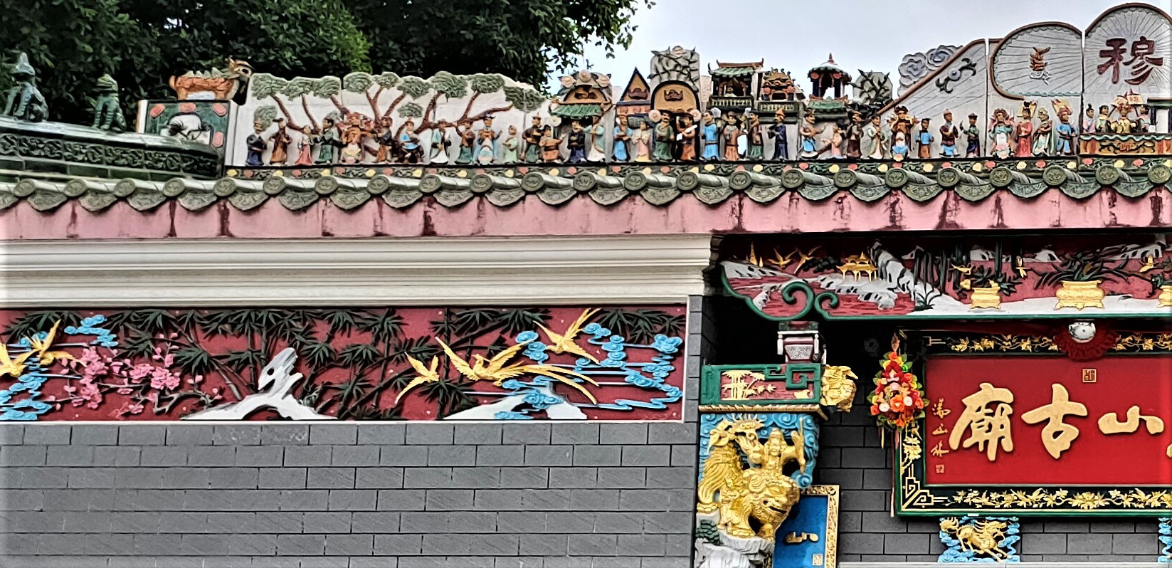
The Chinese script reads ‘Ma Tso Lung’, which is the name of the village a short distance up the side road from this location. And I don’t think that this site qualifies as part of the village! The characters in coloured boxes read ‘nam uk tsai’ (tsai is a diminutive, and uk means ‘house’, but taken together they probably mean ‘hut’; nam simply means ‘south’, which puzzles me, because this hut is north of Ma Tso Lung).

This is a closer view of the panel on the right:
I did wonder what this site was like in the past, and it so happens that I shot a video of the frontier road three years ago, and this is a still from that video:
A lot of trees appear to have been cut down here, which isn’t exactly environmentally friendly!

This is a view of the side of the hut facing the road:
I couldn’t get far enough away to capture the entire wall in a single shot.

It’s worth taking a closer look at these images. This rather plaintive ox always caught my attention whenever I cycled past:
The job of this beast will have been to pull a plough.

The bench is real, but the backrest is part of the painting:
The wall of high-rise buildings in the background is Shenzhen, which is an impressive sight as you cycle along the frontier road. Mind you, this isn’t a particularly realistic representation; there are actually quite a few buildings that I would describe as futuristic, even from a distance.

The next photo is particularly interesting because it includes a poetic lament. Farmers are contemplating another disastrous flood and hoping that kind people from outside the area will help them:
This image makes me wonder whether the area was once extensively farmed, and the conversion to fish ponds was a sensible option given the unreliability of the weather. Nowadays, the only place under conventional cultivation is around the village of Lok Ma Chau, at the western end of the frontier road. Incidentally, I’ve never seen geese anywhere in Hong Kong, so whether this wall is an accurate representation of what the area was once like or merely the artist’s imagination running wild I cannot say.

Here are two photos of the far side of the hut:
This is altogether more fanciful, which I surmise is because it is the work of a different artist.

There is a small pond on the opposite (south) side of the road just before it reaches the painted hut, and this is another still from the video I referenced above:
You will notice that there is nothing substantial between the road and the pond, but since I shot the video, a low wall has appeared here:
Two things to note: all the buildings around the pond that you can see in the video have been demolished; and the wall has been painted in what I would describe as a frieze that changes every 3–4 metres. The following photos show the frieze in more detail:
I think it unlikely that any more artwork will be added to the main building, but the remainder of the concrete wall surrounding the pond may be painted in due course. If you want to see this site, the best way to reach it is by bicycle. I don’t advise driving there, especially if you’re not used to driving on single-track roads—and parking in the area is very limited. However, there is a minibus service to Ma Tso Lung and another to the village of Liu Pok, both of which involve just a short walk (downhill) along Ma Tso Lung Road. Unfortunately, I’ve no idea where in Sheung Shui they start—presumably close to the MTR station—or how frequently the service runs.

Sunday 24 April 2022

jockeying for position: update

Three years ago, I wrote about artwork that I’d spotted on a low concrete wall marking the boundary of a public housing estate on Jockey Club Road, the main north–south artery through Fanling/Sheung Shui (Jockeying for Position). At the time, because part of the wall had not been painted, I conjectured that this might happen eventually, and yesterday, having been cycling ‘out west’, we emerged from the cycling underpass that allows us to cross this road safely, and despite focusing my attention on possible traffic on the cycle track we were about to join, I couldn’t help but notice that the remainder of the wall had indeed been covered. Consequently, I walked down there this morning to take some photos.

This is a view along the wall, which is what I saw yesterday:
The following photos show the images along the wall in sequence, starting from the left:
I had to shoot some photos at an angle because trees on the edge of the pavement, next to the cycle track, meant that I couldn’t get far enough away for a straight-on shot.
When I first saw the circular green objects, I interpreted them as slices of lime (and the theme of the work was food), but then I spotted the frog in the next photo:
They are in fact lotus leaves! The flowers in three of the above photos are lotus flowers! And, of course, the fish are koi carp, which are not noted as food items!

Continuing rightwards:
The artist responsible for these images has named herself in the final image:
This is the first time I’ve seen the artist’s name (Cheng Pui Man) on a mural, and I wonder whether she has any other work in the area that I might see in the future. However, I still believe that the original art on this wall that I featured in Jockeying for Position was the work of local schoolchildren as some kind of art project.

Thursday 14 April 2022

a crowd on the roof

When we went out cycling a couple of days ago, the original plan had been to ride ‘out west’, but given that the temperature was pushing 30 degrees, we decided that we would just go as far as the western end of San Tin Tsuen Road, a quiet road that skirts around the northern edge of San Tin, then double back.

However, this decision presented a small problem: when we reach the end of San Tin Tsuen Road on our way west, we cross Castle Peak Road to join the Sheung Shui to Yuen Long cycle track, and along this track there is, within a short distance, a convenient rest area with covered seating. Whenever we stop for water, we like to be able to sit down for a few minutes before continuing, and there are no convenient stopping places anywhere along San Tin Tsuen Road.

I suggested that we detour into San Tin, which we hadn’t visited for three years, when I wrote about the historical sites there. The intention had been merely to find somewhere to sit down for a few minutes, but having done so almost immediately, I then suggested that, since we were here, we might as well have a ride around San Tin, which has some tricky alleyways to negotiate. We rode past the Man Lung Fung Ancestral Hall and the Tai Fu Tai Mansion, both of which are ‘declared monuments’, without stopping, but when we reached the Tung Shan (‘east mountain’) Temple, I wanted to stop to take a few photos:
It’s quite common to see various figures on the roofs of public buildings such as temples, but I’ve never seen quite so many on one roof. It’s worth taking a closer look:
Although I can’t offer any kind of detailed explanation, this appears to be some kind of street scene, with crowds of people and lines of buildings behind them. The polychrome mouldings under the eaves, which are in excellent condition, appear to show cranes, which are revered in Chinese culture.

Notice too the guarding animals on each side of the temple in the first photo above. They do look fierce. This is the one on the left:
Unless you’re familiar with Chinese culture, you probably won’t be able to identify what kind of creature this is. It’s a lungma (‘dragon horse’), a cross between a dragon and a horse and the basis of the popular salutation lung ma ching san (‘may you have the spirit/vitality of a lungma’).

This is the lungma on the right, which looks equally ferocious:
There are also representations of two lungma directly below the name of the temple, which you can see in the close-up photos of the roof above.

While dragons represent the male principle in Chinese culture, the female principle is represented by the phoenix, and the square plaques in the centre of the walls on each side of the door depict phoenixes:
There are dragons here too though. This is a photo of the tripod directly in front of the door, which is used by worshippers to plant joss sticks:
There is one dragon facing directly to the camera, and two climbing up the sides of the bowl.

Finally, this is a photo of a structure at one side of the courtyard in front of the temple. It is used during funerals to burn paper models of objects such as motor cars that the deceased person can use in the afterlife:
The structure to the right is a village shrine that probably has no connection to the temple.

I’ve been unable to find out when this temple was built, but I did learn that it underwent a major restoration in 1894, four years before the area was taken over by the British. This suggests that the temple is at least 200 years old.

Sunday 10 April 2022

young chef and friends

After I’d recorded graffiti on industrial buildings alongside Sha Tau Kok Road in Scrawl on the Wall, I began to wonder whether, given the generally negative attitude towards graffiti in Hong Kong, I might find more examples in Fanling’s industrial area, where perhaps there wasn’t the same rush to paint over or wash off graffiti. I didn’t discover a lot, but this is a summary of what I managed to find.

Although all the traffic arteries in the industrial area run parallel to Sha Tau Kok Road, all the graffiti that I’ve found are on the walls of cross-lanes that are not used by motor vehicles, except for parking—where possible. I’ll start with an amusing graffito that I’ve walked past several times:
I’ve no idea who or what ‘Young CHEF’ might be, but it provides a kind of theme to what I’ve discovered elsewhere in the area. Here are three renditions of the tag ‘CHEF’ in three separate locations:
If these were painted by the same person or group, then I would expect them to be identical, but apart from the predominance of the colour blue, they are stylistically quite different. The fourth rendition of ‘CHEF’ doesn’t even follow the similarities of the previous three:
The last photo also includes the Chinese character lau, which can be both a surname and the adjective ‘fluid’, which is reflected in the way the base of the character appears to be dissolving. The mark on the right is not a genuine character, so I cannot comment on its significance.

I took the next photo, of an industrial building at the southern end of the industrial area, from a footbridge over the Ma Wat River:
And here are closer views of the three tags, from left to right:
I had thought, from a distance, that the right-hand tag spelled the word ‘CHEF’, but as you can see, it actually spells ‘CREW’. So these tags are the work of a group of people.

All the remaining photos were taken along a single cross-lane leading directly off Sha Tau Kok Road.

The first photo taken here shows an atypical ‘scrawl’, in that it isn’t just black:
The fat lettering in the next photo reflects the word: ‘SUMO’:
I’ve tried to decipher the next tag, without success, although Paula thinks it spells ‘SAFE’ and may be a reference to drugs:
In The Writing on the Fence, I described how graffiti that I’d come across in Manchester employed the motif of running paint. However, in that case, the graffiti had been meticulously executed merely to create the impression that the paint had been running. Here, the paint really has been running, although that was probably the artist’s intention:
And I can only guess at the significance of the word ‘COLA’, which doesn’t seem to be worth the effort of painting it on a wall.

My final image is the first I’ve seen reflecting the political situation in Hong Kong since the pro-democracy protests of 2019, when political slogans could be seen everywhere, but especially on the walls of underground pedestrian/cycling interchanges:
BELIEF!