When we did the bike ride that I described in
Appleby Sauce, which included no fewer than seven villages that I’d never visited in my entire life, I was acutely aware that there were several other villages in the triangle formed by the A66 to the south, the A686 to the north and the western flank of the Pennines to the east that also fell into the ‘never visited’ category. This is an account of what we did to rectify this omission.
We started by following the A686 to Langwathby, a choice that was constrained by the limited number of places where it’s possible to cross the River Eden. On the two previous occasions that we’d come this way this summer, we’d crossed via a footbridge, but the main bridge is now open after a temporary closure for resurfacing, so we stayed on the road.
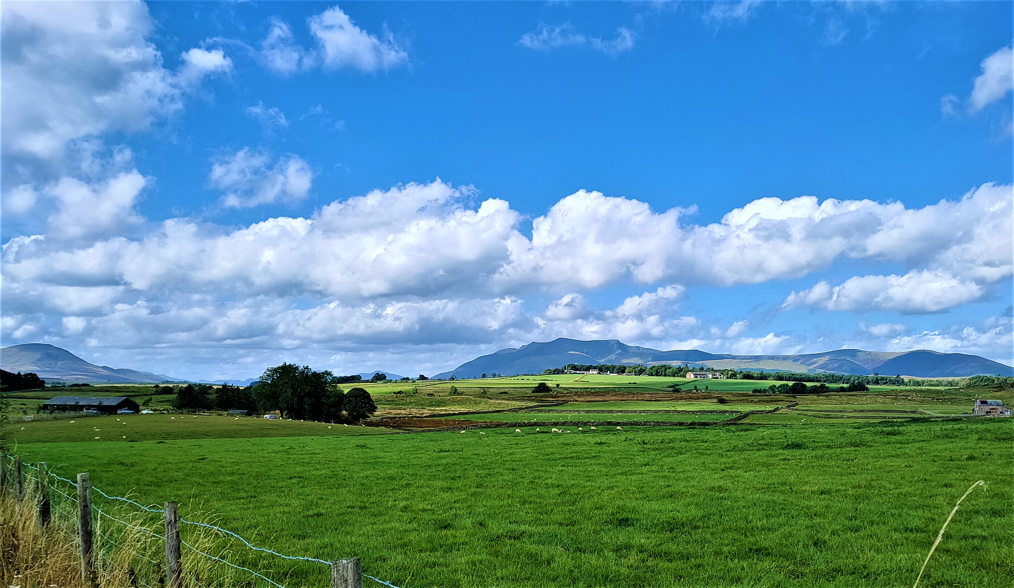
As usual, we took a short break on a convenient bench on the side of the village green, from where I took this photo:
On the two other occasions that we’d passed through Langwathby this summer, we’d continued on the A686 to Melmerby (
A Grand Day Out, British Style) and, two days before the ride that I’m describing here, headed for Little Salkeld in order to double back through Hunsonby, which we’d omitted on the ride described in
Appleby Sauce. This time, the plan was to follow the B6412 to Culgaith.
Just as we were leaving Langwathby, Paula spotted a mysterious pillar in the grounds of a large house on the right. This is the photo she took (mine didn’t reveal any details):
However, I also took a photo of a terrace of three double-fronted houses with elaborate porches on the other side of the road, which struck me as quite unusual:
At one point on the road to Culgaith, I spotted a hill ahead that was illuminated by the sun reflecting on the road surface, and perhaps I should have stopped to take a photo, but I didn’t. The hill, when we reached it, certainly wasn’t a foretaste of what was to come.
Just before we entered Culgaith, there is a road leading off to the left that would have been an effective short cut, but I wanted to ride through the village, which is almost like a small town, although it has just the one pub. From riding through the village last year, I knew that there is a convenient bench where the ‘short cut’ rejoins our planned route, and that would be our next stop.
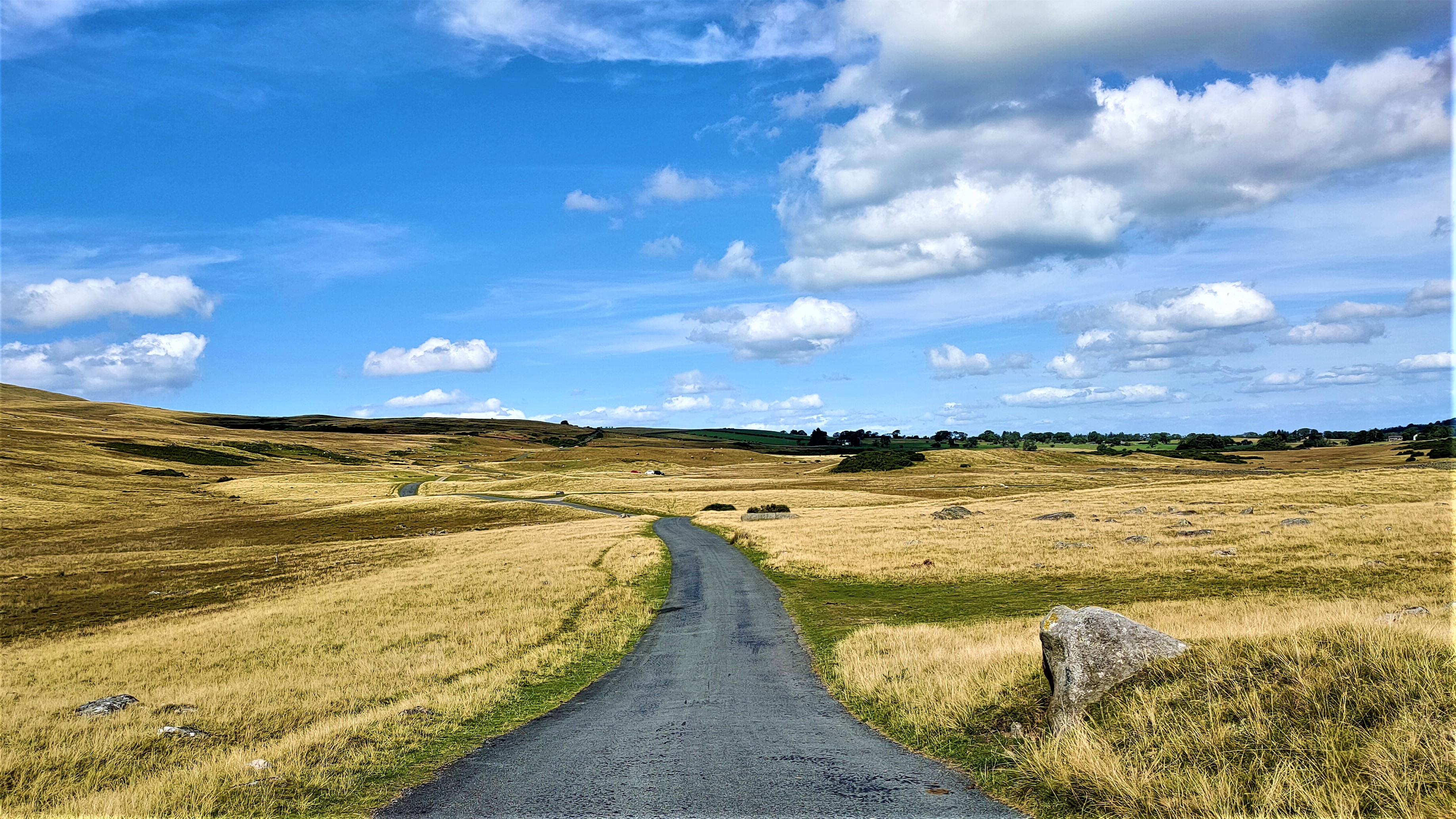
This is a view of the road ahead, which leads to Skirwith, from this point:
Turning right here would have taken us to Newbiggin, which was not on our itinerary.
We didn’t stop in Skirwith, from where the road to Kirkland, the first village on the day’s route that we’d never visited before, is clearly signposted. I had anticipated that this detour would involve some significant hills, but it didn’t. This is a photo that I took on our way to Kirkland, with the Pennines in the background:
We’d no sooner reached Kirkland than we saw a convenient bench:
The tree is a horse chestnut, which immediately made me wonder whether, in an age of smartphones and social media, children nowadays play ‘conkers’, a game that involved suspending a nut from one of these trees on string and taking turns to see whether you could break your opponent’s conker, let alone other games that I played as a child in the 1950s, like marbles or fivestones.
This is a view of the way we’d just come:
…and this a view from the same point that shows the Lake District fells in the distance:
I was certainly surprised to find a church here:
I took this photo from the stile that you can see in the first photo of Kirkland above. I couldn’t help but wonder why there is a stile here, given that there is also a gate through which worshippers can gain access to the church.
On the way to Blencarn, our next objective, I stopped suddenly because I was surprised to see a lake ahead on the left of the road, which isn’t marked on the map:
We saw large numbers of geese here, which is why I took photos from slightly different angles.
And this is a view looking back along the road we’ve just come:
I was rather dismissive of Blencarn in
Appleby Sauce, but approaching the village from a different direction allowed us to see that there is more to see here, although I didn’t stop to take any photos.
Our next stop would be Milburn, which I did write about and include photos in my earlier account. We then continued on the road to Long Marton, although we were looking for a road that turned off to Knock, the next village on our ‘never visited’ list. I was surprised by how wide this road was, and I was also surprised to see a sign that read ‘Not Suitable for Long Vehicles’. Why would a long vehicle want to come this way?
Anyway, we stopped after a short distance along this road to take some photos. This is the view to the left:
…while this is the road ahead:
…and this is a view looking back the way we’ve just come:
We found the answer to the question I posed above when we reached the outskirts of Knock, where I spotted an articulated wagon in a large industrial shed and a caravan park on the opposite side of the road. Presumably, the wagon had reached Knock via the other road that leads to the village.
When we reached the village itself, we found a convenient bench for a short break. This is the road ahead from this point:
…while this is a view looking back from the same position:
Incidentally, ‘Knock’ may seem like an odd name for a village, given its modern meaning as a noun or transitive verb. It derives from the Cumbric word
cnuc, meaning ‘hillock’, a possible reference to Knock Pike, which rises behind the village (‘pike’ derives from an Old Norse word meaning ‘peak’).
It began to get a lot more hilly on the road to Dufton, our next objective. The priority road here leads to Long Marton, but I thought that we should turn left, up a short but sharp hill that led to the village green. I was taken aback by the sheer size of Dufton, given what seemed like its relatively remote location, but I was able to find a viable explanation on a sign that you can see in this photo, next to the bench:
I’m not going to list all the information that I learned from the sign, but here are some of the more interesting tidbits. I already knew that the suffix
–ton was Anglo-Saxon for ‘farm’, but the full name means ‘farm where doves were kept’ (presumably for food) and was first mentioned in local records in 1176; there were once extensive lead mines on the hillside above the village, now abandoned, which may account for the village’s present size; there are also the remains of a Romano-British settlement on the hillside above the village; and the line of lime trees on the left of the next photo was planted in 1892:
You may just be able to make out the sign of the village pub, the Stag Inn, at the far end of the green.
And this is the road we followed out of the village:
The first part of this road provided the steepest hill on the entire ride, which is what I had expected. In fact, I did ask Paula whether she wanted to miss out the next two villages and head directly to Appleby, even though I knew what her response would be. No! And this hill turned out to be the only occasion on the entire ride where I had to use the small chainwheel. However, the hilliness didn’t relent until we’d almost reached Murton, the next objective on the route I’d planned.
And I did stop briefly to take the next photo, which shows a small cliff just below the skyline and a dry-stone wall in the foreground:
Constructing walls without mortar is widespread throughout northern England, although building such a wall with the material available around here is quite some feat, given the angular, irregular nature of individual blocks. The rock here is Carboniferous limestone, and I did think that there were fossils in a couple of blocks, but the fossils in this type of limestone are usually very obvious, so I was probably mistaken.
We didn’t stop in either Murton or Hilton, although we might have stopped at a bus shelter in Murton if someone hadn’t parked a pick-up truck directly in front of it. I like to have something interesting to look at when taking a break. However, I did take this photo of the road between Hilton and Appleby:
The hazard sign reads ‘Beware Golf Course’!
When we finally reached the outskirts of Appleby, it was impossible to ignore the fact that we were beginning to lose a lot of height, which is always a concern, because you will certainly have to regain it at some point. We did stop for a rest when we reached the centre of Appleby, where I took this photo before continuing:
If I’d been thinking clearly, I would have turned around and taken a photo looking in the opposite direction, which would have shown the brute of a hill that marks the start of the B6260 to Orton.
This road doesn’t get any easier. In fact, shortly after leaving Appleby, I noted a sign that warned drivers of many hidden dips ahead. This meant that although you could hit the bottom of each hill with some momentum, the overall trend of the road is upwards, and after five brutal miles, it was with considerable relief that we reached the turn to Maulds Meaburn.
This is what that road looks like ahead:
…and this the view from the same place to the south:
Some distance further on, I took this photo looking down towards Maulds Meaburn in the valley below:
And so began a long descent into the village and the squandering of all the height gained so painfully on the Orton road. I took the next photo from a convenient bench in the village:
I’d taken the previous photo from somewhere on the skyline in this photo.
Maulds Meaburn is an unusual village. Every road leading into it has a cattle grid across it to prevent livestock from proceeding further, and it turns out that the centre of the village is a huge grassy area that is used to graze sheep, which wander freely around the place or, as in this photo, sleep under one of the trees:
There is also some ancient history associated with this place and a sister village, King’s Meaburn, about four miles to the north. King Henry II (1154–89) granted part of the ‘lands of Meaburn’ to Sir Hugh de Morville and part to his sister, Maud de Vetenpont. Unfortunately, however, Sir Hugh fell out of favour with the king, who reclaimed Sir Hugh’s portion.
There is some linguistic legerdemain going on here. A lot of silent letters appeared in our language during the Middle English period (twelfth–sixteenth centuries), and I think that, like the
l in ‘could’ and ‘would’, the
l in Maulds should not be pronounced, although I have no idea how locals actually do pronounce the name of their village. Notice too the absence of an apostrophe, something that doesn’t happen with King’s Meaburn but does still happen today with proprietary names like Morrisons, a British supermarket chain.
Last year, I recorded in my log that we’d cycled through Maulds Meaburn on our way from Crosby Ravensworth to King’s Meaburn, but in fact we didn’t see anything east of the River Lyvennet, which is most of the village. This is the bridge over the river that we would have to cross in order to continue:
There appears to be a coat-of-arms set into the parapet of this, the upstream side of the bridge, but it isn’t possible to make out much detail (I didn’t notice it when taking the photo).
Although we couldn’t see it, I guessed that there would be a T-junction on the far side of the bridge, and I was right. It was signposted left to Crosby Ravensworth and right, not to King’s Meaburn but to Morland, which luckily happened to be the next village on our intended route. Before leaving Maulds Meaburn, I took this photo of another bridge over the river:
The road over the bridge is signposted to Appleby, and we crossed it earlier this summer as part of a circuitous route from King’s Meaburn before turning right onto the road we were about to follow.
Shortly after passing the turn-off to King’s Meaburn—you would never guess from the map that the road to Morland is the priority road—we came to a quite impressive avenue of evenly spaced birch trees. This is the start of that avenue:
In fact, I was so impressed that I stopped to take another photo a short distance further on:
I couldn’t help but think that there was some kind of stone archway across the road ahead, but of course that was just an illusion:
We did have trouble finding our way through Morland when we finally reached there, but we did manage eventually by following a road that wasn’t signposted to Cliburn until we came to a road branching off to the right that was signposted. As we left the village, we couldn’t help but notice this bunny rabbit topiary, which appears to have been created in honour of the National Health Service (the blue heart has ‘NHS’ printed across it):
As you may guess from the cross on the right in the photo, this topiary is located in the village churchyard. And this is the church:
I didn’t take any more photos during the remainder of the ride. There was quite a stiff hill on the way to Cliburn, which I hadn’t expected judging from the map, but we finally reached the crossroads at the north end of the village, where we took our final rest.
The road from Cliburn into Penrith was familiar territory. It’s relatively straightforward, with only slight undulations, but shortly after crossing the bridge over the River Eamont at Brougham, there is a hill that leads up to the outskirts of town. We come this way whenever we’ve been cycling south of Penrith, and I would normally rate it as ‘trivial’, but on this occasion we found it to be hard work. We also had a few problems coming through town, the result of the sun being very low in the sky, which affected visibility at some key points.
Another tricky problem: our route through town takes us past Penrith station, and on this occasion the queue of cars waiting to get into McDonald’s extended out into the road, but this was an example of where being on bikes becomes an advantage. We simply rode along the middle of the road, past the line of stationary cars, and then we were home. Cold beer(s) never seemed so welcome.
You can follow the details of the route I’ve been describing on this map:
If you’re wondering about the title of this story, it relates to a bike ride we did earlier this month, when we clocked 52 miles. The ride that I’ve described here covered 56 miles, although I have to admit that it was sheer madness. My legs felt like two planks of wood by the time we reached home, and we could manage just a short walk the following day. This ride was also the last of the summer, because we will be heading back to Hong Kong for the winter in two days. Look out for reports on our cycling exploits there, which I’m already looking forward to.