Sunday 30 April 2023

across the swamp

When I wrote about ‘the garden of earthly delights’ recently, I alluded to an interesting feature further along the path, a boggy area that I’ve named ‘the swamp’. I thought that a more detailed appraisal of this feature would be worthwhile. This is the start of the path:
I cycle along this path regularly, particularly if I’m heading east, because it’s preferable to following the cycle track that runs alongside Sha Tau Kok Road, the only road out of Fanling to the east, which carries a lot of traffic, including heavy goods vehicles. And because the start is a left-hand bend, I ring my bell just in case there is someone out of sight coming in the opposite direction. It’s always a relief when I’ve rounded the bend and discovered that there’s no-one there:
…because passing someone here is distinctly awkward!

Immediately after the path passes the aforementioned garden, this is what the way ahead looks like:
There is another blind corner at the end of this straight section, but the path is now a much more comfortable width:
The path turns right in the previous photo, and this photo shows the continuation of the path, with the stream that runs through the swamp on the right:
This is a view of the bridge across the stream, looking back the way we’ve just come:
And this is the start of the route through the swamp:
The path immediately crosses from the northeast to the southwest side of the swamp:
…and continues along that side for some distance.

The first two of the three following photos illustrate something that you would never realize from this distance: the two groups of high-rise blocks, despite appearing identical, are not the same. They are separated by an area of pristine forest that I don’t think will be developed. On the left is a public housing estate, while the blocks on the right are intended for first-time buyers:
The path then crosses back to the northeast side:
There is another bridge across the stream just as the path reaches the far side:
…and this is a view of the stream from the bridge, looking upstream:
I often see a solitary egret here, and this is a short video that I shot here recently:

The path continues:
While walking along this section, I took several photos looking across the swamp to the far side:
The first of these photos appears to show a species of bamboo that grows as individual stems rather than in a clump, although it isn’t practical to take a closer look. This kind of bamboo forest is almost impenetrable, if my previous experience is anything to go by.

The vegetation changes in this southerly part of the swamp, and we often see ginger flowers here:
The root of this plant is widely used in Cantonese cuisine.

The path finally debouches onto Po Kak Tsai Road, and this is a look back at the way we’ve just come from that road:
And that’s the swamp, a pleasant, scenic area that Paula and I walk through frequently. I think you can see why!

Sunday 23 April 2023

the garden of earthly delights

I’ve often written about strange and unusual locations that I’ve come across as I explore the New Territories, and this post is about yet another place that fits this description, although in this case it’s a site that I’ve known about for some time. In fact, it’s located in my immediate neighbourhood, and I will have walked or cycled past it scores of times.

If you follow the unnamed road that runs past the Tang Chung Ling Ancestral Hall, you will eventually reach a dead end next to the walled village of Tung Kok Wai. There is a path that starts opposite the wai (‘walled enclosure’):
This path leads across a waterlogged area that I’ve named ‘the swamp’ to Po Kak Tsai (‘poke in the eye’), and the mountain that you can see in the distance is Pat Sin Leng (‘eight fairies ridge’). The high-rise blocks on the left of this photo, which weren’t there five years ago, form part of Queen’s Hill Public Housing Estate.

There are what I would describe as private gardens on both sides of the first part of the path:
…but the garden of interest starts here:
It doesn’t take long to get really interesting:
The next two photos provide a closer look at what you can see in the previous photo:
Further along:
There are several items in the next two photos, including the yellow plastic sunflower, that spin in the wind, leading me to conclude that they are there to deter birds, except that there doesn’t seem to be anything here for birds to eat:
You may have noticed what appear to be mini-concertinas near the top of the second photo. I first saw these in ghost alley—they are aluminium drink cans that have been split vertically around their circumferences. They’ve also been fixed to rotate in the wind.

This is the view a short distance further along:
I’ve deliberately enlarged a portion of the previous photo, because there is so much detail that would otherwise be missed, including a miniature lotus pond with a single flower:
There are three more miniature lotus ponds in the foreground of the next photo, with a single flower in the middle one:
The next two photos are views looking back the way we’ve just come. It should be obvious how they fit with the previous view:
Finally, this is what you will see first if you’re coming the other way:
I’ve not tried to describe everything in these photos, but if you spot something that looks interesting, do leave a comment, and I will endeavour to answer any questions.

similar posts
The Witch's House
Stone the Crows
The Fun House

Tuesday 11 April 2023

park, parker, parkest

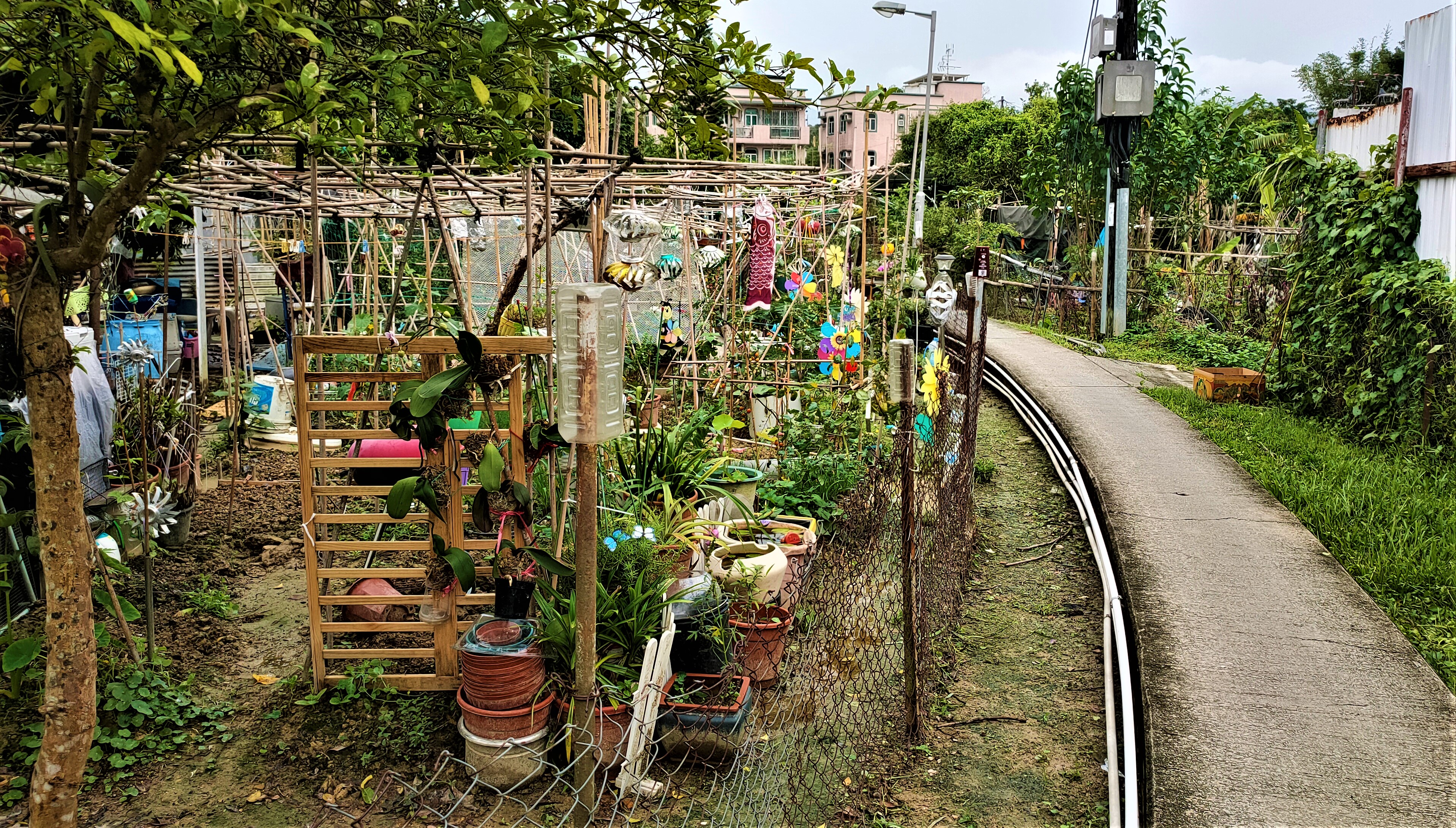
There are dozens of small public gardens in Fanling and Sheung Shui, but only one park: North District Park, which is located just northwest of Fanling Wai. I’d walked through this park before, but one day recently Paula and I were walking past the park, and I couldn’t help but notice several ‘interesting’ trees, so I decided to pay a visit last week in order to take a few photographs. These are presented in the order in which they were taken.

There is a large open paved area between Fanling Wai and the park, from where I took this photo of what I assume is the main entrance to the park, although there are other, less formal, entry points:
Immediately after passing under the entrance arch, I took this photo looking to the left:
There are nine benches in this image, which is a small fraction of the total number in the park, so there are plenty of opportunities to sit in quiet contemplation.

This is a view looking straight ahead from the entrance, which shows two of several gazebos here that have been built in traditional Chinese style:
This is a closer look at the gazebo on the left in the previous photo:
…and this is a view of a larger pavilion to the right:
The two men on the left are looking over a small ornamental lake.

Here are two views of the lake from that same position, first straight ahead:
…then to the right:
This one was taken as I walked around the lake to the left:
There is a small lotus pond to the left of the path here, fed by a small waterfall:
I’m not sure why the lotuses have been penned in, although my guess is that they would take over the entire pond if given the opportunity.

Paper bark trees are very common in Fanling—they line Sha Tau Kok Road, the main road out of Fanling to the east, for a start—so I couldn’t resist taking a photo of these three magnificent specimens:
The bark can easily be peeled off these trees, although I strongly counsel against doing so.

Another gazebo:
…and another view of the lake, looking back towards the point where my first photos of the lake were taken:
As you can see from the map (below), the park is split in two by So Kwun Po Road, but there is a convenient underpass connecting the two parts. There is also a cycle track here, and I’ve included this photo, which shows the way we’d been following whenever we cycled ‘out west’ (we used to follow the Drainage Services access road that runs alongside the Ng Tung River, but recent construction work there has made this option impractical):
The next six photos are general views of the trees in the area next to the village of So Kwun Po, which has its own entry points into the park:
I took the next photo to illustrate the large clump of aerial roots on the left of this tree:
This type of root starts as a thin tendril that draws moisture directly from the air, but when one finally reaches the ground, it rapidly thickens up and becomes woody, sending out its own roots into the soil, as this view of the same tree from the other side well illustrates:
The next photo shows these so-called ‘prop’ roots, ones that show no obvious differences if compared with regular branches, although they do stabilize the tree during typhoons:
Having photographed all the interesting trees in the extension of the park, it was time to return to the main park. The next photo shows the cycle track that we ride along now when heading ‘out west’ (coming towards the camera):
However, we don’t now continue along the cycle track in the first photo above. Instead, we turn left towards the underpass:
…and follow this cycle track:
This is because the other option involves negotiating a busy light-controlled road junction and a cycle track that runs next to Sheung Shui station. The pavement that runs alongside the cycle track here is invariably crowded with pedestrians walking to and from the station, who frequently step out onto the cycle track without checking to see whether it’s safe to do so. The cycle track in the previous photo does come to an end quite quickly, but a short but exciting ride through the narrow alleyways next to Fanling Wai leads to a flyover that crosses both the railway and the expressway. This carries just bike and foot traffic and is never busy!

By the way, you can see the entrance to the main park on the left of the previous photo.

Naturally, I took a different route on my way back through the main park, and I took this photo of a cluster of trees after a short distance:
I took two photos of the next group of trees, from slightly different angles:
My route through the park brought me to the top of a tiered seating area that implied an audience for some kind of performance. I took this photo from there:
The white pavilion here can also be seen across the water in the second of the photos of the lake above.

My final photo shows another large pavilion, the purpose of which I didn’t seek to find out:
And that was a brief walk through North District Park. I shall have to bring Paula next time, because I know she will like it. Meanwhile, this map provides some additional context:
related posts
Above Water Gardens
It's a Pleasure