When I started cycling in 1998, I quickly worked out a route that I could do regularly through the area northwest of Penrith. It wasn’t particularly long (20 miles), but it was good enough to do repeatedly, including one memorable year when I decided at one point to do it every day that it wasn’t raining. However, I reckoned without what turned out to be the driest September on record and ended up repeating it 13 days in a row! Tough!
And when I wrote
A Grand Day Out back in March, I was describing what turned out to be the best ride of my most recent sojourn in Hong Kong. Not only was it my first 100km ride of the period (105km), but I discovered several new paths to add to a ride that I’d earlier named ‘journey to the west’, after the well-known Chinese literary classic. I tentatively named one of these discoveries ‘Yuen Long (south) path #4’, but I mentioned in this account that I needed a more fitting name, because it really was a severe test of one’s bike-handling ability. I’ve now settled on ‘adult entertainment’, because it’s in an area known as Shap Pat Heung (‘18 villages’). I’m sure you will see the connection. Shooting a video is a top priority when I get back to Hong Kong next month.
Meanwhile, my cycling habits around Penrith during the summer months have changed radically during the past couple of years, although I did add a couple of other routes to my repertoire years ago. However, Paula retired in 2019, and she has since been able to spend the entire summer with me. Starting last year, I decided that we should do a different route every time we went out. This often involved cycling through villages that I’d never previously visited in my entire life and had certainly never cycled through, a system that has continued this year.
Which brings me to the ride that Paula and I did on Wednesday. My plan was to follow the A686 eastwards as far as the village of Melmerby, which is located at the foot of the long climb over Hartside, notorious for treacherous winter conditions—it was blocked by snow drifts for three months during the hard winter of 1962/63. This would usually mean crossing the River Eden via a ‘temporary’ bridge at Langwathby, but I’d heard that it was currently closed for resurfacing. However, I learned from the county council website that there is a footbridge here that can be used by cyclists and pedestrians—I might not have considered coming this way if the road had been carrying its usual amount of traffic.
I remember having a wonderful geography teacher in the run-up to GCE O-levels in 1962 who taught us how to interpret Ordnance Survey maps to deduce the reason for the location of villages, and in the case of Langwathby, the reason is obvious: river crossing. This is confirmed by the name—the component
–wath– derives from the Old Norse word for ‘ford’ (the suffix
–by, extremely common in this area, simply means ‘village’). Upon returning home, I googled ‘Langwathby bridge’ to find out more about its recent history—I knew that the original seventeenth-century stone bridge had been destroyed by a horrendous flood of water down the river—and was staggered to learn that this event occurred as long ago as 25th March 1968, hence my enclosure of the word ‘temporary’ in quote marks above to describe its replacement.
Langwathby would be our first stop on the ride. Most villages have a convenient bench seat somewhere, and I took the following photo here from just such a vantage point:

Not many local villages have such an extensive village green. The village’s church can be seen on the far side of the green, just right of centre, while the village hall is on the far left. The local pub, the Shepherd’s Inn, is just off the photo to the right.
The road out of the village towards our next objective turned out to be quite a tough challenge, which I hadn’t expected, and I was quietly dismayed, because our intended route beyond Melmerby would follow the foot of the Pennines, a mountain range known colloquially as the ‘backbone of England’, and I had anticipated that there would be some seriously difficult hills on that section of the ride. However, when I googled ‘Langwathby bridge’ after the ride, the relevant Google Maps section appeared at the top of the search, and from this I learned that this hill had a name: ‘Storey Bank’, which would have been a clear warning signal, had I known this in advance—hills that have been given names are usually quite brutal. And although there were plenty more hills to contend with later in the ride, Storey Bank turned out to be the toughest climb of the day. Phew!
Melmerby would be our next stop. I didn’t notice anything particularly interesting here, although I took this photo from the bench we used for our rest:
Nothing particularly interesting here, although the black sign next to the signpost has been placed there by the local pub, also called the Shepherd’s Inn.
From Melmerby, our route diverts from the A686 onto a typical unclassified road that leads to the village of Gamblesby. One difference between villages in England and Hong Kong is that almost every village in Hong Kong has a public toilet, while I’ve yet to see such a facility in any village hereabouts. Consequently, shortly after leaving Melmerby, we had to stop for a toilet break. I took this photo, which shows the road ahead, while we were stopped:
I hadn’t intended to stop in Gamblesby, but I simply had to take a photo of the church here and its unusual rounded apse:
While stopped, I took this photo of the road ahead through the village:
…and this photo of the other side of the church:
Navigation of the route to Renwick, our next objective, was quite tricky, but we didn’t make any mistakes. This village also has an interesting church:
The clock, an uncommon feature on village churches, still functions. While resting here, a local resident (with a strong Midlands accent) asked us if we were on the coast-to-coast, a popular cycling route that passes through Penrith.
“No!” I replied. “We’re just day trippers from Penrith.”
Had we actually been on the coast-to-coast, we’d have been well off route at this point. The resident then asked whether we had enough water. I thanked him for his kind offer, but we were okay.
Before reaching Croglin, we joined the B6413, although you would never guess that it’s a classified road. Although wider than the roads we’d been negotiating up to that point, the actual condition of the road surface is no better. And there was no traffic! Just before reaching what I expected to be our next stop, we passed a junction with a signpost to a place that I’d occasionally heard mentioned in conversations but tacitly assumed was a silly name invented to bamboozle people like me: Scarrowmanwick. Had the start of this side road not been quite a steep hill, we might have diverted just to be able to say we’d been there.
I’d never visited Croglin before, and there really isn’t any reason to do so. This side road off the road through the place, which is a dead end, is pretty much all there is to see:
There certainly aren’t any public buildings.
I’d memorized the route to our next target, the village of Ainstable, because it had seemed from my map (see below) to be quite a complex sequence of junctions, but the first left turn after leaving Croglin was signposted to Ainstable and Armathwaite, so getting there turned out to be straightforward. After a second toilet break before reaching Ainstable, I took the next photo looking back the way we’d just come, with views of the Pennines in the distance:
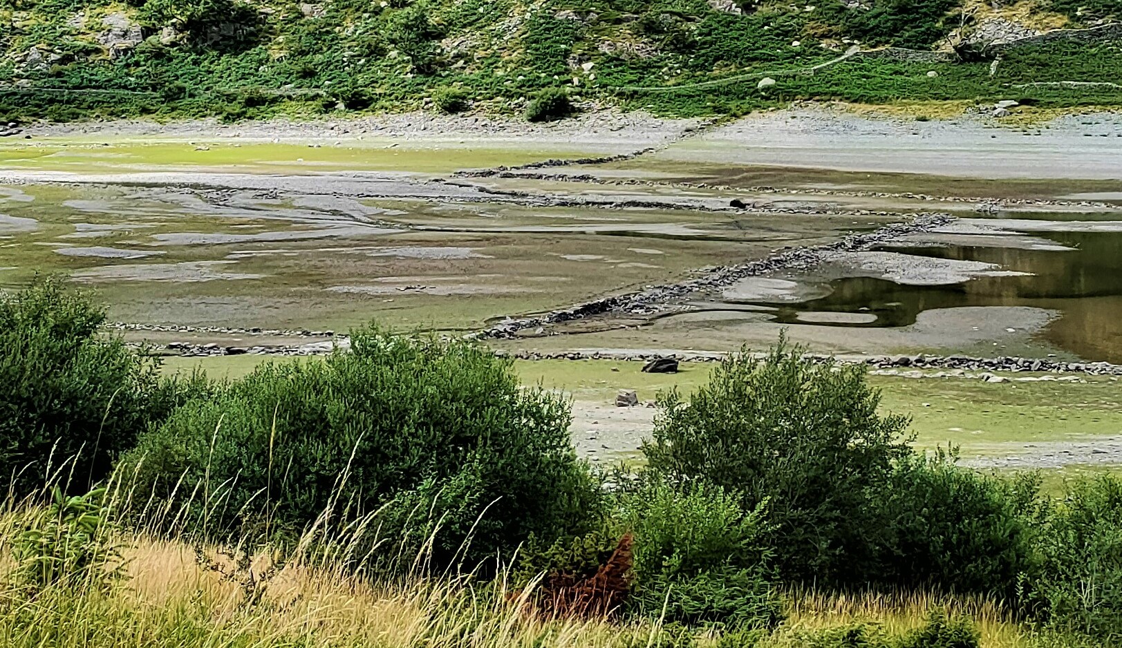
We didn’t stop in Ainstable, because we couldn’t see anywhere comfortable to sit down for a few minutes, so no photos. The next two photos were taken as we re-crossed the River Eden as we entered Armathwaite, first looking upstream:
…then downstream:
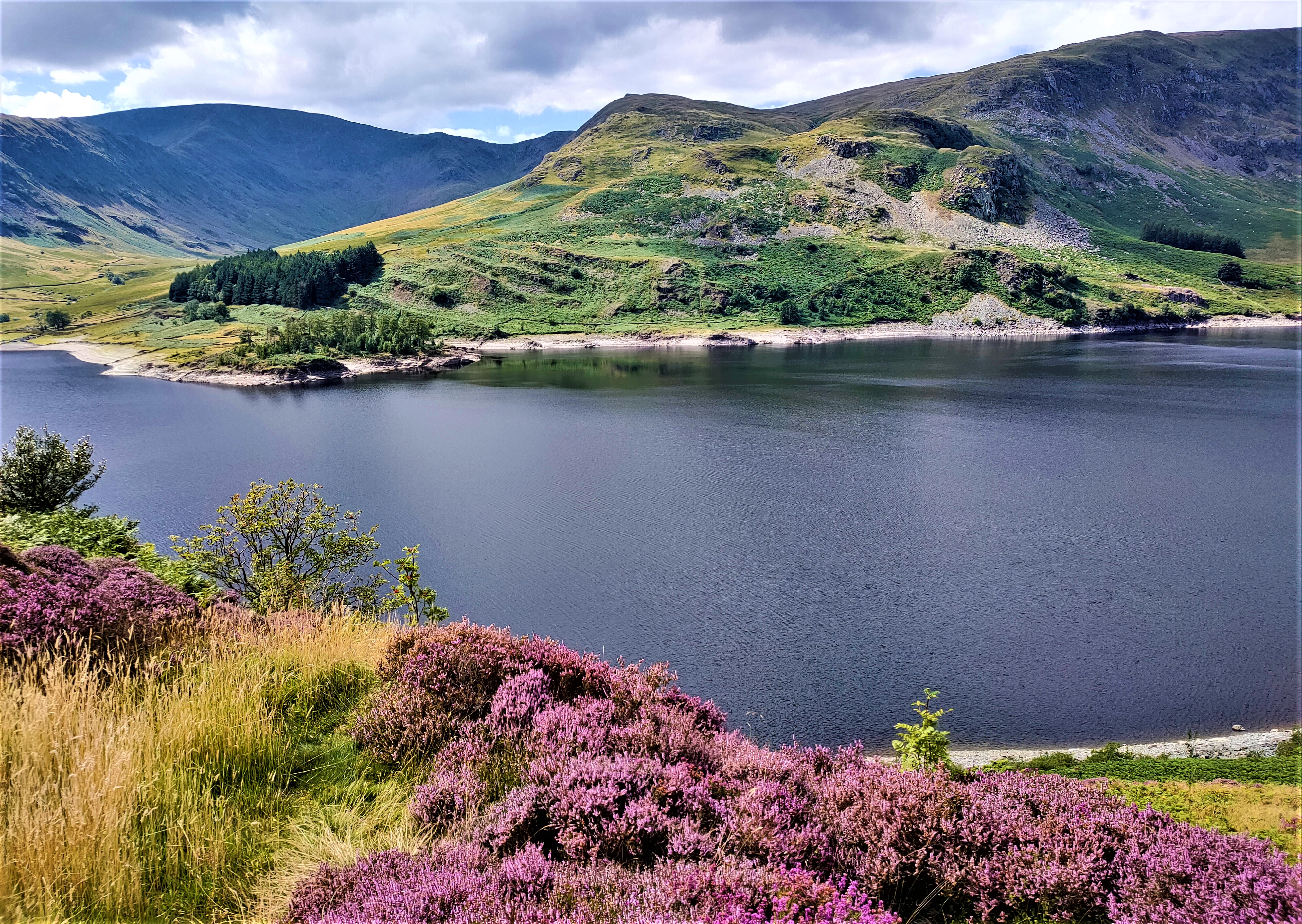
The water level is very low, which isn’t surprising given the lack of rainfall this summer.
Armathwaite is the largest village on this route, probably because it is located on one of the few crossing points over the river, although the suffix
–thwaite derives from the Old Norse word for ‘clearing’—the area was densely forested when the Norsemen arrived here 1,500 years ago. We didn’t stop here until we’d almost left the village, which has two pubs and seemed quite busy. I took this photo while we were enjoying a short rest. It shows the road leading to the village’s railway station:
As you may guess from the alignment of our bikes, we would be continuing to the left.
The remainder of the route is familiar territory, because we’d reached Armathwaite by a different route last year, and the continuation that we did then is by far the best option. Our next stop will be Calthwaite, which we pass through on several other routes, so we already knew where the seat is. This is that village’s church:
You can see hay bales in a field behind the church—local farmer’s will have had no problem drying their crop this year.
Our route then continued through Hutton End, past the transmitter complex from which the BBC broadcasts its World Service radio on short wave, to Skelton, where we made our last stop. This is a view looking back down the hill, the way we’ve just come:
You may just be able to make out the tallest of the BBC’s transmitter masts in the distance above the middle house in the row of three.
We’ve often used this bench, because Skelton is on routes that go in all directions, and opposite the bench is what is obviously a public building:
I’d originally conjectured that this is a school, but after a bit of sleuthing, I can now state that it is Toppin Memorial Hall. Skelton also has two churches, neither of which our route passed, and a pub.
The last seven miles are mostly downhill, apart from a short but quite steep hill in the village of Newton Reigny, where we didn’t stop. I was looking forward to a cold beer (or two). This map includes all places mentioned in the above account:
As a scale guide, Langwathby is about five miles from Penrith, and this account describes the longest ride of the summer to date: an estimated 41 miles. A grand day out? Definitely!