Monday, 13 March 2017

nature trail

When I wrote about the zoological garden last November, I included a photograph of the entrance to an alleyway that I also cycle past every Sunday. It is close to the entrance to ghost alley, and I ventured down the alleyway back in November because I thought that it might contain some interesting artwork. I didn’t have time for a comprehensive survey of the alley, but I made a mental note to return, having noted some interesting paintings on display.


The sign on the right states that this is the domain of a group that provides guided tours of nature in the area for children. Anyway, having ridden past week after week, I decided to take a closer look yesterday, and I was surprised (and delighted) to find a lot of new artwork on the footpath. I’d just found somewhere to park my bike so that it wouldn’t block the way and had taken out my camera when a local man, who identified himself as Michael, appeared and asked me what I was doing.

In the course of our conversation, I learned that the new artwork had been painted only two days previously, and Michael thought that the group responsible wasn’t finished. He believed it to be the same group who had created ghost alley—he didn’t use this name, I hasten to add—and he asked me if I was aware of that location. Of course, I replied, I’ve even written about it! Twice!

Anyway, here are some of the older images from this site. It’s impossible to photograph the entire image painted on this power pole:


I’m not sure if this slightly garbled Charles Dickens quotation has any significance:


This is probably the most elaborately painted image here. I believe it to be a koi carp:


And here are two floral patterns. The first appears to feature two lovebirds, and I’ve included the second mainly because it’s the only image that is dated:


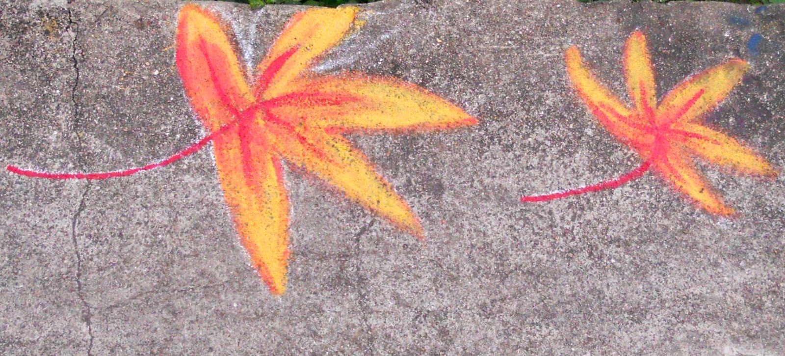
The remaining photos were taken yesterday and are almost exclusively leaf or flower motifs. They tend to be quite crude, but for me the only disappointment is that there is none of the anthropomorphism that characterizes many of the best images in ghost alley.


Finally, here is a general view of part of the path. The bamboo structure on the left is a homemade set of wind chimes, although to get the best effect, you need to rattle your fingers across the suspended lengths of bamboo:


I will be back here a few weeks later to see if Michael was correct, that the work here is unfinished. I do hope so.

Thursday, 9 March 2017

ping kong ping pong

Ping Kong is a village situated on the western fringe of Fanling. There would once have been some space between the village and the town, but the latter has slowly expanded to fill the gap. And Ping Kong is a prosperous village, if this entrance arch is anything to go by:


Because I live on the opposite side of town, and the obvious way to reach the country to the west had been to follow the river catchment systems to the north, I’d been unaware of the village’s existence until a few weeks ago, when I discovered an alternative route back into town, which I described in Room for Further Improvement. In that report, I described a narrow path, about 1km in length, which led through an extensive area of farmland to the entrance to the wai (walled enclosure) that was the original village. This ‘through path’ is indicated by the red arrow on the following satellite image:


Naturally, I couldn’t help but notice a few other paths leading off the through path, and of course I wanted to know to where they might lead. However, rather than describe the exploration of these paths, I thought it better to describe the finished article, a bike ride that I’ve decided to call ‘ping kong ping pong’. This rather facetious name combines that of the village with the observation that one bounces around from path to path much like the interplay in a game of table tennis. But first a digression:

In Room for Further Improvement, I included photos of two road junctions, the second of which leads to the start of the through path. I’d chosen this road to follow rather than the first because having reached the end of the road I had been following, it was the first I came to. However, when I came back with Paula a few days later to show her what I’d discovered, I forgot that I’d gone down the second turning and took the first turning by mistake. I remember thinking, as we sped down a seriously steep hill, that I hoped we wouldn’t have to come back that way:


But we did! This road was a dead end.

Anyway, the key to ping kong ping pong is the multi-path junction indicated by the red circle in the satellite image above. The problem (because I like to frame these things as exercises in topology) is to traverse the four numbered paths in both directions. But only paths #2 and #3 connect directly to the through path. I needed a new path into the area. And I found a real beauty, which is where the ride now starts:


The yellow railings were an encouraging sign. They are there because after this initial ramp, the path contours across the hillside, with a dangerous drop to the left. And they would not have been erected if the path didn’t lead somewhere.


The path then becomes an alleyway:


…leading to a small quasi-industrial site.

However, it’s easy to find another path leading away from this site (the second photo was taken looking back at a bridge just crossed):


This is path #1, which reaches the multi-path junction without further anxiety:


Path #1 comes in from the right, #2 from the left, #3 leads away on the left, and #4 away on the right. The next move is along path #4, although this is left after 20 metres or so to follow a gap through the trees indicated by the lowest point of the skyline:


By analogy with the concept of ‘off-road’, the route, while obvious, is distinctly off-path, arriving, eventually, at the dead-end road reached by the steep hill described above. You must have realized that the digression had a point, and although there really is no point in descending a hill merely to climb it again, when the hill is part of a circuit, I can’t not include it.

From the top of the hill, it’s a straightforward matter to reach the start of the through path, from where an obscure turn-off leads back to the multi-path junction. Next on the agenda is path #3:


The tin shack in the last photo is located on the through path, and the junction between it and path #3 (X on the satellite image) is shown in the next photo:


Path #3 is on the left, and the route turns left here, following the through path as far as the junction indicated by the yellow circle:


The through path is on the right in this photo. The path on the left leads to the village of Chung Chai Yuen, a small cluster of houses with narrow alleyways. However, before we continue, there is an oddity to point out. The photo was taken from the point of view of someone coming from Ping Kong, and if that someone’s destination really was Chung Chai Yuen, there is a much better path, also signposted, starting just outside Ping Kong. And if, as in this case, that someone was coming from the opposite direction, there is no clue on the reverse of the sign to the path’s destination.

This path is also one of the bumpiest and most broken I’ve encountered anywhere. This photo is of the junction indicated by the blue circle, which is in a much better condition than the overall average for the path:


The route comes in from the left and leaves on the right, but later in the ride (see below), the route approaches the junction from the third direction and leaves on the left.

And this is the entrance to the village:


By contrast with the bumpy path, the path that leaves the village is in excellent condition and is quite exhilarating to ride at speed (if you have the nerve):


The through path is then followed in reverse as far as X (the tin shack), followed by path #3 back to the multi-path junction. Path #2 is next. It is followed to a junction with the through path:


This photo was taken from the through path, with Ping Kong in the background. Path #2 comes in here from the left, and the route turns left towards Ping Kong. After about 50 metres, there is a signposted right turn towards Chung Chai Yuen (again only visible if you’re coming from the opposite direction), but instead of the path pictured above, this time the route follows a Drainage Services access path:


The path followed earlier can be seen in the background.

The route eventually negotiates the three-way junction pictured above on its way back to the through path, which is followed to the junction with path #2, also pictured above. This leads back to the multi-path junction for the final time:


All that is left now is to backtrack along path #1 and the path across the hillside to reach the point where it all started. Notice that although all the main paths have been followed in both directions, at no point is any path followed more than once in the same direction. That would violate my self-imposed rule for such exercises, which, as I explained earlier, I treat as topological problems, in this case to work out while cycling (the first time, at least). It all adds to the fun.

Monday, 6 March 2017

room for further improvement

When I posted Room for Improvement back in January, I did so in the belief that there wasn’t anything else I could add to the long and winding road, a bike ride that is more a test of handling skills than of stamina. I was almost right, because the mountains to the south and west, Fanling golf course to the north, and Fan Kam Road to the east—a road onto which no sane cyclist should ever venture—effectively constrain one’s options. I did overlook one obvious area for further investigation though (see below).

However, before describing the new section, here are some additional details about the most exciting part of the entire ride: the spiral ramp! The first photograph is a view of the ramp from below. This image does provide some idea of the steepness, but the climb doesn’t look too difficult:


Contrast that with the next two photographs, which show Paula on the upper section of the ramp. Notice how much narrower it is than the lower section, which means that you need to be able to hold your line and not wobble about.


*  *  *
I’ve reproduced the following photo from Room for Improvement, where I’d used it to indicate the Drainage Services Department (DSD) access path on the right (between the two fences), which leads eventually to the spiral ramp. It was taken from a bridge across the channel.


But notice that there’s another DSD access path on the opposite bank of this drainage channel. Naturally, I had to check it out:


Crossing the bridge leads to a junction with the original route, but there is an option to turn left:


Nothing too difficult so far, but it does look rather ominous around the corner:


But if you’ve made sure you’re in a suitably low gear, this short bank is much easier than the spiral ramp:


This alleyway emerges onto a narrow lane that I’d explored previously without noticing a potential exit. I’d continued along this lane until I reached a dead end, and I assumed therefore that it led nowhere.

*  *  *

I now believe that there is nothing more to be discovered within the constraints outlined above, but what would happen if I were to step outside those constraints?, I’m referring specifically to the track through the village of Lin Tong Mei that I described in Room for Improvement. It joins another road shortly before that road reaches Fan Kam Road (see above). I may have described this busy road as ‘a road onto which no sane cyclist should ever venture’, but I didn’t rule out crossing it, and opposite the junction just mentioned, there is another road. I wondered where it might lead.


There is some traffic on this road, but there are too many twists and turns for it to move at anything like a dangerous speed, and, as it turns out, it’s a dead end anyway, so there is no through traffic. There are two junctions where I had a choice to make:


In both cases, I took the right-hand option, for no better reason than that I wanted to preserve my height if possible. However, I came eventually to a dead end and was forced to backtrack, so I turned down the other road at the second junction above. Where that came to an end, I found the start of a narrow path:


To my surprise (and delight), it led without difficulty to the village of Ping Kong, on the outskirts of the urban area. The first picture provides an indication of what I enjoy most about exploring new paths:


Before you reach the point from where this photograph was taken, the left-hand option appears to be the only one available, because it’s straight on, but when you do reach this point, you either have to make an instant decision, or stop. And the instant decision is to take the right-hand path. Can you see why?

Everything else on this main path through the area is straightforward:


The original long and winding road was an out-and-back excursion, meaning that it was necessary to go back home the way I’d come (with just a few minor variations), but the discovery of this path means that I now have a circuit to follow. However, there’s more. Apart from the ‘red herring’ junction pictured above, I’ve deliberately omitted from the above selection those photos that show paths leading off to one side or another. You can be sure that I’ve checked them all out, and I’ve even compiled them into an independent ride, which I’ve christened ‘ping kong ping pong’.