However, from my point of view, this chaos affords opportunities for fun on a bike. On the periphery of a village, in addition to what might be called ‘standard’ village houses (restricted by law to three storeys and a maximum footprint of 700 square feet), there are likely to be large numbers of ‘temporary’ dwellings. I don’t understand the details of how the system works, but someone will own the land and grant permission, for a fee, for someone else to build a temporary structure on that land. The second person ‘owns’ the structure, and if it has been connected to mains electricity and piped water for five years, then that second person is entitled to compensation should the landowner want them to move.
I’ve provided this information because in the sequence of photographs that follows, you will see large numbers of such temporary structures, and my objective was to find a way through the maze of paths and alleyways between these structures and come out on the other side (most such paths are culs de sac). Having discovered this particular route on my bike only last week, I decided yesterday to walk along it and photograph the entire length, so that in the sequence each photo was taken from the furthest point visible in the previous one. This means that a route of only 500 metres in overall length took 25 photos to document fully.
The house you can see at the end of the alleyway in the first photo is the most opulent in the entire sequence:

…with substantial boundary walls and ornate railings. I’ve no idea what lies behind what I call ‘industrial panelling’ on the left:


The next photo shows a surprisingly substantial house in the background:

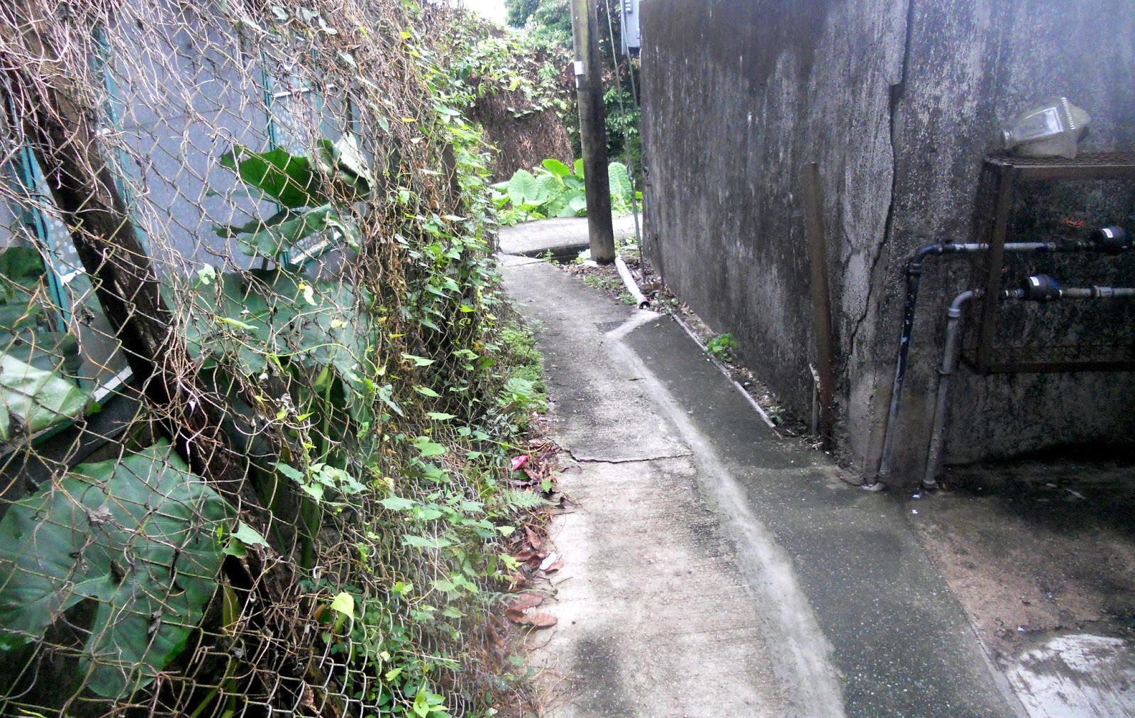
…while the building on the right of the path here is probably rendered brick:


Notice the metal grille on the right in the next photo? It means that the occupants are essentially living in a cage, something that I imagine the average Westerner would find hard to adapt to. I don’t know how dangerous the security situation is hereabouts, and how vulnerable the occupants feel, but I do remember that between 1984 and 1989, I lived in a standard village house with thick vertical bars in the windows. And it felt like being in prison!

The house in the next photo is constructed from metal sheets nailed to a timber frame. I don’t know what metal is used here, although it appears to be quite malleable and may be a lead-based alloy. Note the security bars on the casement windows of the upper floor, which are almost ubiquitous but are, to say the least, much less oppressive than the bars I described above.

Note the water pipes on the right, complete with water meters, in the next photo. There is a T-junction coming up, but turning left merely returns you to the village:
…while things are becoming more rural along the right-hand option:

However, that isn’t meant to imply any kind of opening out:

…although this section is wider, and with more of an industrial feel, than I might have expected:


If any plot of land is otherwise unoccupied, you can be sure that someone will make use of it to grow vegetables:


The derelict building on the right in the next two photos would once have been a piggery:


I suspect that it was abandoned because it was too far from the nearest road, so bringing in food for the pigs would have been awkward, as would taking the animals out again to be slaughtered.
The metal fence on the left has an ‘official’ look about it, which is unsurprising given that it will have been erected by the Drainage Services Department (DSD).


I’m not sure why there is a gap in the aforementioned fence in the second photo.
The footbridge in the next photo is not across anything describable as a ‘river’—during the winter, there is almost no water flowing beneath it—but its existence is reassurance that you will be able to reach a road and not have to backtrack the way you’ve just come. In keeping with other minor drainage channels, the banks have been built up with tiers of rip-rap rather than being excavated and canalized.

And there is an immediate deterioration in the quality of the path:

The building on the left seems to be too important to be located here. It has a traditional double door, which was closed when I passed by. However, there is a four-character inscription above the doorway, which translates as ‘purple breeze from the east comes’. This gives the game away, because it is a reference to a central theme of Taoist mythology, about which I will not elaborate.


As so often happens when I’m exploring paths like this one, there is a silent sigh of relief when I spot a motor vehicle in the distance, because it confirms immediately that there is a way out, although there is about 100 metres of rough track still to negotiate before emerging on Lau Shui Heung Road:

By the way, in case you were wondering about the title of this post, it is a rather feeble transliteration of the village from where this odyssey began: Fu Tei Pai.


Another enjoyable traipse.
ReplyDeleteThe only problem is linking it into a longer ride.
Delete