Well, I saw Uncle John with long tall SallyRegular readers will know that I like to give names to particularly interesting segments of my bike rides, and given that what I’m about to describe involves cycling through an obvious alley, and that Little Richard’s Long Tall Sally is one of the best tracks of the 1950s, I’ve decided to call my way of avoiding the Drainage Services Department (DSD) access road running alongside the Sheung Yue River ‘long tall sally’.
He saw Aunt Mary comin’ and he ducked back in the alley,
…
Havin’ me some fun tonight.
Well, long tall Sally she’s built for speed,
She got everything that Uncle John need,
…
Havin’ me some fun tonight, yeah!
Little Richard, Long Tall Sally.
I worked out this diversion last winter, but it was just that: a diversion. However, in the past few months, the Civil Engineering Department has started work on constructing a (totally unnecessary) dedicated cycle track alongside the DSD access road, which has resulted in an annoying increase in motor traffic, especially construction vehicles. At the end of the DSD access road, it had always been necessary to turn right if I wanted to go further west and to follow a busy service road for about 100 metres to gain access to a footbridge across the expressway, but in the pull-in adjoining the bridge, I’d noticed an alleyway leading into an unknown area. This pull-in is marked ‘F’ on the map below.

Like a lot of individual paths, once I’d explored them, it turned out to be more practical to ride them in the opposite direction, and this is what happened here, so I will describe long tall sally as starting from the junction of Ma Tso Lung Road and Ho Sheung Heung Road (‘S’ on the map). It starts with a short concrete road:

You’re unlikely to encounter any traffic though, because the road quickly comes to an end:

The white car is usually parked here, but it doesn’t block the continuation alley:


The narrow ‘road’ on the map is actually connected to the starting road, so I’ve no idea how Google Maps came to represent the two as separate. And the right turn indicated in the last photo leads to a long and fairly straight section with no possibility of straying off course:

…so I’ve included only this photo from this part of the route:

However, you will eventually come to a T-junction. If you turn right, you will reach F more quickly, but turning left is far more interesting. This is what you will see first:

The fence on the right encloses a DSD-maintained nullah (Hong Kong English, meaning ‘culvert’); pedestrians and cyclists should take the left-hand option, although the road is a cul de sac, and motor traffic is therefore almost nonexistent. Where the road ends, the route follows a DSD access path (that’s the fenced path on the right—the left-hand option splits into several paths, all of which are dead ends):

Notice the line of egrets perched on a power line directly above the first segment of the left-hand railing. I’ve included another photo of roughly the same location not to help you find your way but because here the egrets are perched on the railing between the DSD path and the nullah:

The following photo is not here for navigation purposes either. Notice the bizarre structure at the end of the access path. I have no ideas regarding the likely purpose of the two semi-cylindrical structures on top of a 20-foot shipping container, because no access points are visible from the public side:

Once again, the better option is to turn left at the end of this path onto another road. This is also a dead end, but before reaching that end, there is a chance to turn right onto a path that doubles back:

The route goes up through the trees on the right towards the small blue sign and is the only tricky bit on the whole of long tall sally, although it isn’t at all difficult if you’re in a sufficiently low gear. A sharp right turn leads to a bridge across the nullah:

And this is the view from that bridge, looking back towards the way you’ve just come:

The remainder of the route requires only that you keep on straight ahead. There are a couple of right-angle turn-offs to the right, but they can be ignored.


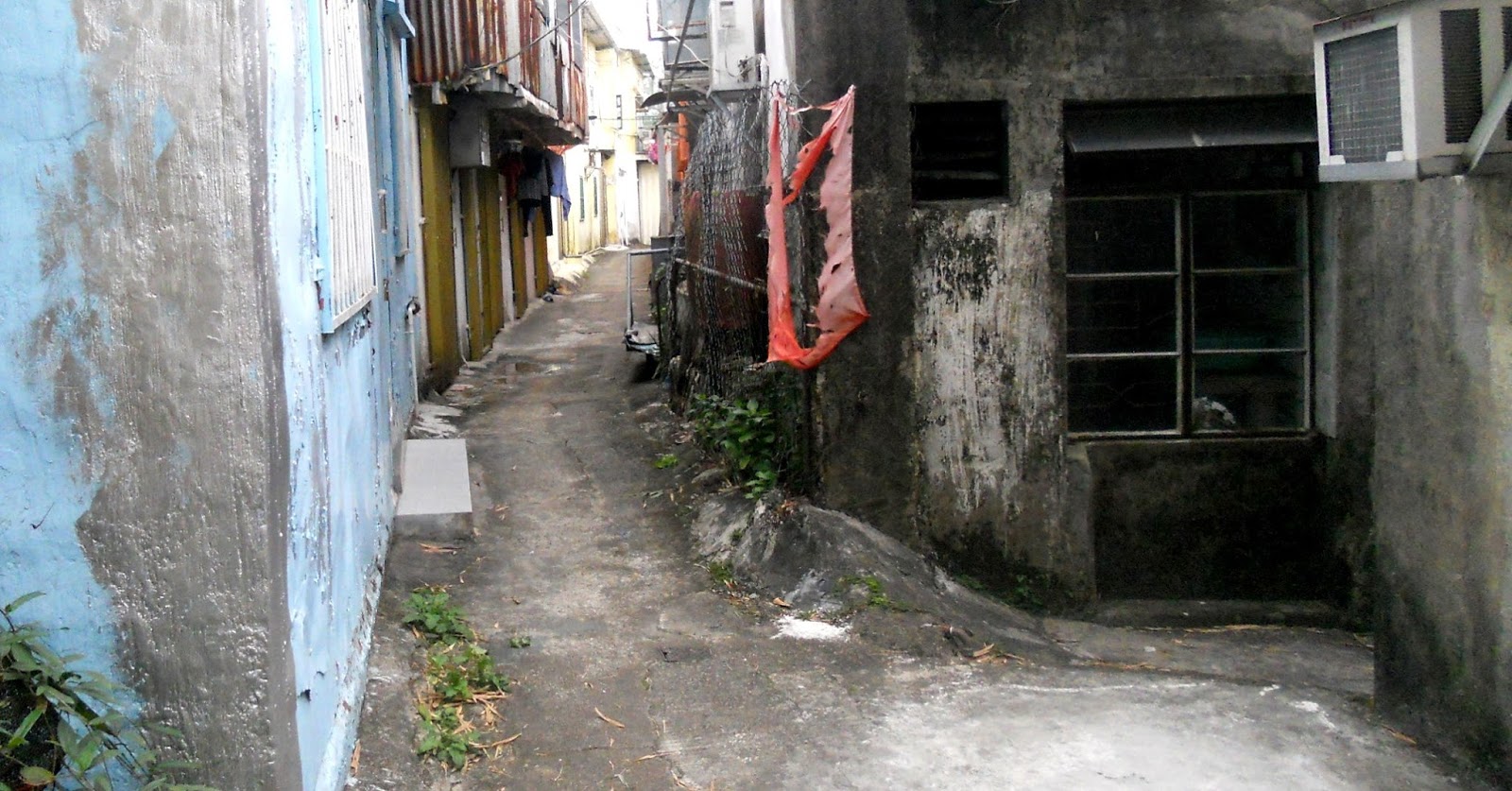


This is the alley that I originally explored in the opposite direction. The man in the last photo was practising kung fu, but he’d got back in his taxi (the green vehicle) before I reached the end.
This post is the first of several that I plan to write this month to document all the new paths and alleyways that I’ve found in this area in just the last month.


No comments:
Post a Comment
Please leave a comment if you have time, even if you disagree with the opinions expressed in this post, although you must expect a robust defence of those opinions if you choose to challenge them. Anonymous comments may not be accepted.