Ten years ago, most of this area was being cultivated by enterprising ‘farmers’, but it is in fact owned by a major property developer, Henderson Land. However, the company began the process of clearing the land at that time, evicting the farmers and fencing off the cultivated areas, which in the intervening years became heavily overgrown. Although building work started on one small patch of land close to Ma Sik Road a couple of years ago, it is only in the past couple of months that machinery has moved in to clear the rest of the area.
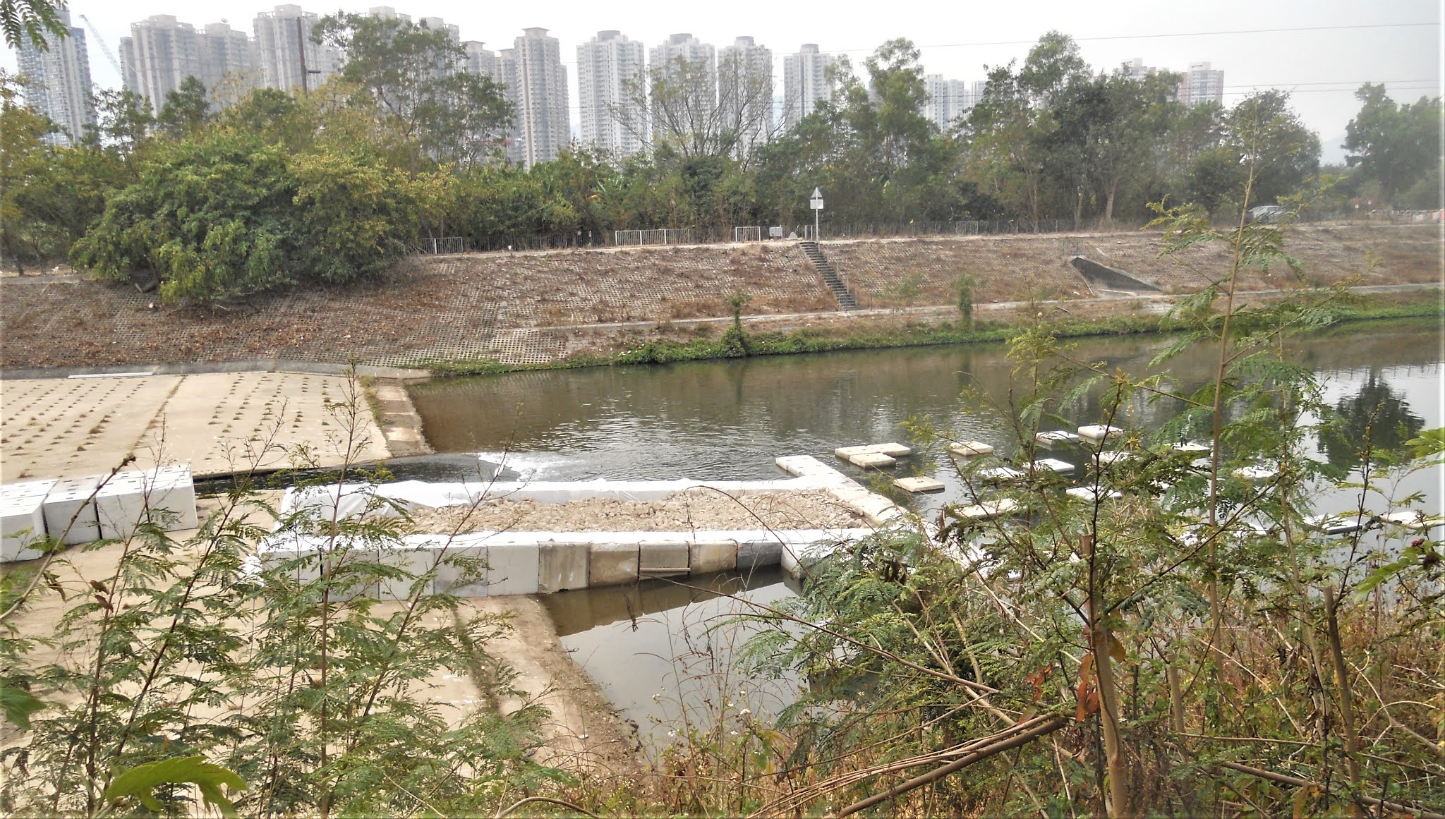
I assume that this move is linked to the commencement of work on the ‘Fanling Bypass Eastern Section’, which I reported on in my December post, but this is an account of just one small part of that work. On 13th December, I decided to walk along the track on the opposite side of the river to the Drainage Services Department (DSD) access road, which we use when cycling anywhere west of Fanling, to take a closer look at developments on that side of the river. I took the following photo:

I had thought that the proposed bypass would simply follow the DSD access road as far as the road bridge that you can see on the right of the photo, but perhaps I was wrong!
Over the following weeks, I took a photo every time I walked or cycled along the DSD access road, and I thought that I would post a selection here, without comments, to allow readers to try to guess just what is going on. Each photo is captioned with the date it was taken:

19th December 2020.

24th December 2020.

2nd January 2021.
6th January 2021.

7th January 2021.

13th January 2021.

18th January 2021.

18th January 2021.

19th January 2021.

20th January 2021.

21st January 2021.

23rd January 2021.

25th January 2021.

3rd February 2021.

14th February 2021.

27th February 2021.
There haven’t been any further extensions to this project since the platform that first appeared on 3rd February, but two drilling rigs have been operating here for the past few weeks, and there does seem to have been quite a lot of activity during this period, which implies that something will be built here. But what?
* * *
For more details of what has happened in the area owned by Henderson Land during the past decade, check out these links:Turf Wars
A Blot on the Landscape
Turf Wars Update


Seeing the initial stage of change, I can only say, "More to come".
ReplyDeleteA lot more to come!
DeleteLooks like they are building the foundations for the center of a bridge - but that is only a guess
ReplyDeleteThat’s my guess too.
Delete